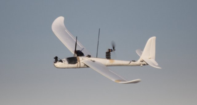
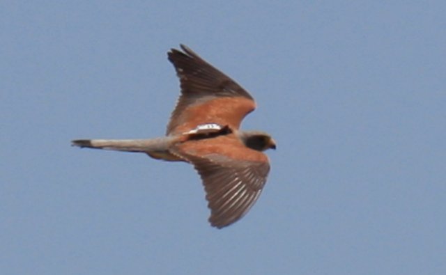
 A study by the Spanish National Research Council (CSIC) has used small unmanned aircraft systems (sUAS) to reproduce the flight paths of birds of prey and get environmental information of their hunting areas.
One of the main limitations of biotelemetry (remote measurement of physiological, behavioral or environmental data) of wild birds is the small size and weight of most species. Therefore, the limited information available so far is biased towards larger birds. This paper, published in PLoS ONE journal, describes the combined use of light weight GPS data-loggers and environmental information gathered by unmanned aircraft systems.
 The study was performed using as a model species the Lesser Kestrel (Falco naumanni), one of the smallest raptors of Europe. It took place in the newly established colony on the roof of the headquarters of the Doñana Biological Station (CSIC) in Seville. The birds, marked with a 5 grams GPS data-logger are wild and move freely, with the particularity that they nest in facilities that were built expressly for them in an urban environment. After downloading the geographic coordinates recorded by the GPS of the places visited by kestrels in the vicinity of Seville, the sUAS were programmed to reproduce the flights carried out by the birds. During the flight of the aircraft, an onboard camera took high-resolution digital photos of the areas overflown.
This methodology allows to extract environmental information in nearly real time, showing that sUAS are a useful tool for a wide variety of wildlife studies.
The study was funded by the Junta de Andalucia Excellence Projects AEROMAB (P07-RNM-03246) and Horus (P09-RNM-04588) and by the European Commission through the project PLANET (7th EC FP Grant Agreement 257,649).
To read the complete study, click here.
Source: Press Release
