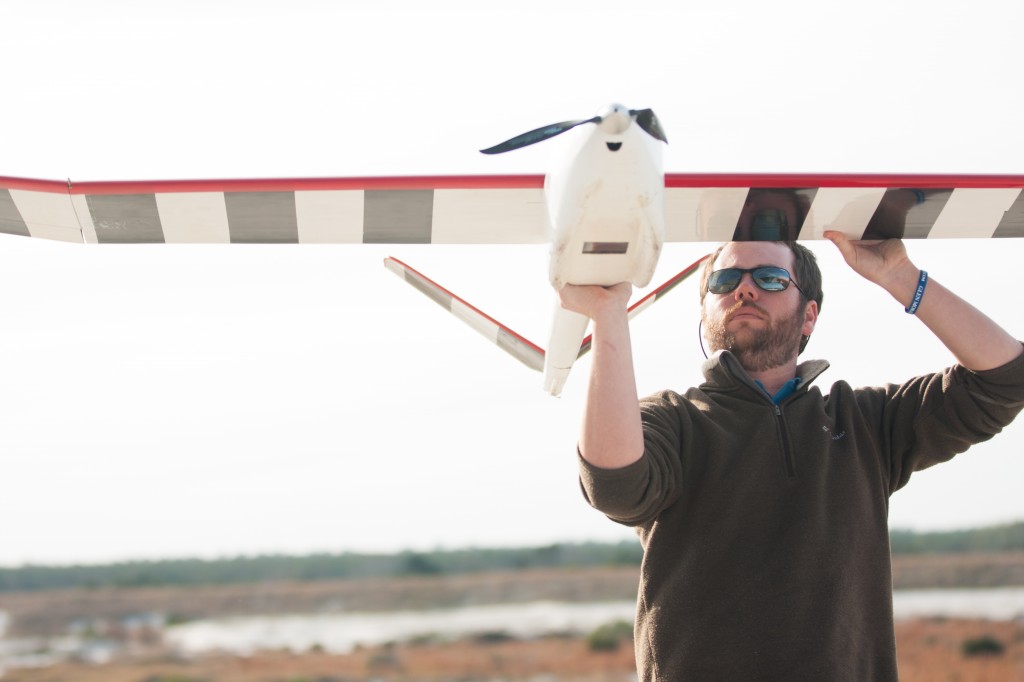
 Woolpert has announced that it has partnered with Altavian to operate unmanned aircraft systems (UAS) for aerial surveying and mapping data collection.
Altavian, a producer of UAS, delivers affordable solutions by developing customized unmanned aircraft that best correspond to a client’s specific application. Woolpert and Altavian will partner together to operate UAS and process surveying and mapping data collected by the technology.
“Woolpert is proud to enter the UAS market with our new partner, Altavian,” said Jeff Lovin, Woolpert Senior Vice-President and Director of Geospatial Services. “After a year of research and testing various platforms, Altavian proved to be the most stable and accurate UAS platform on the market. UAS technology will revolutionize the GS market over the next several years. We are already seeing a demand with many of our federal clients and, more importantly, we see it opening new opportunities for our firm.”
“Innovation is key, and UAS are driving new and more cost-effective methods of gathering the geospatial data that has proven invaluable to the modern economy”, said John Perry, CEO of Altavian. “We are confident that Woolpert, a well-respected firm in the industry with a proven commitment to safety, quality and professionalism, will deliver the value and positive impact that UAS technology will have on the many public infrastructure and commercial development functions it supports.”
A UAS provides a safer and less disruptive means of acquiring surveying and mapping versus ground collection. A UAS also provides the ability to repeatedly fly over sites for monitoring purposes, such as monitoring progress on a construction site, which is not always feasible with existing aircraft.
Source: Press Release
