 India deployed four unmanned aircraft sytems (UAS) on Monday to scan areas that rescue and relief workers have not been able to reach in the flood-hit Himalayan foothills in Uttarakhand in what was described as a pioneering operation.
“It was the first time that this was done,” said M. Shashidhar Reddy, Vice-Chairman of the National Disaster Management Authority (NDMA).The UAS made a reconnaissance of 50 areas in Uttarakhand on Monday, at least 20 of which were locations that rescuers hadn’t been able to reach to assess damage, Reddy said.“The idea was to try to use UAS to scan areas,” he said.
It was the first time that the UAS had been used in the country outside test situations, he said. The vehicle is controlled from a laptop “and has a camera attached to it which gives live video of the area,” he said.
Designed by four former Indian Institute of Technology students, the UAS have a range of two kilometres and are programmed to return automatically if they go beyond that range.“You can either control the altitude and the area at the time that it is going around or you can pre-programme it to cover the designated area at a certain altitude,” Reddy said.
Uttarakhand was hit by the worst floods in more than five decades and landslides last week after unprecedented heavy rain. The home ministry said on Monday that the death toll in the state could reach 1,000. However, some experts said that this was a conservative figure and the death toll is likely to be around 10,000.
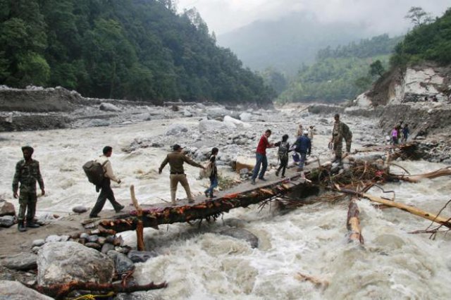
Photo: Indian army personnel help stranded people cross a flooded river during rescue operations in Uttarakhand – Reuters
Source: LiveMint
