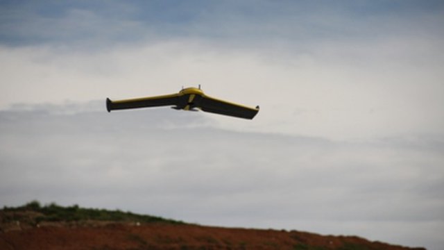
Australian geospatial technology provider, Ultimate Positioning Group (UPG), recently announced a new one-week training course for UAS owners to gain their remote pilot certification – a first on the Australian market, they claim.
The Civil Aviation Safety Authority (CASA)-approved course, which involves three and a half days of theory and one and a half days of practical activity, will be run by UPG’s in-house UAS specialist who is a qualified pilot with 20 years of UAS flying experience.
UAS are used to gather spatial information from the air using high-spec cameras and software, becoming, in the last couple of years, a popular replacement for expensive flyovers in industries like mining, forestry and utilities. However, operating a UAS isn’t as simple as buying one and launching it; before that, an operator needs to show their understanding of CASA airspace regulations by gaining their Remote Piloted Aerial System (RPAS) Certification.
Paul Standen, National Geospatial Manager for UPG, says; “We’ve been working with CASA towards launching this flight school for some time now, so we’re incredibly excited to let everyone know that it’s official.
“Since I joined UPG in 1999, we’ve evolved from a traditional survey equipment reseller to now offer one of the widest ranges of geospatial solutions in Australia. Our imaging area is one of our fastest growing and we offer aerial and ground-based solutions from both Trimble and SenseFly.
“This technology is changing the way businesses operate in a huge number of industries including mining, construction, waste management, utilities, local government, and traditional surveying. Launching this flight school means we have a complete offering for our customers from the planes to the software to the training, certification and support.”
The first of the courses, which will run every second week in different locations depending on demand, will kick off in Melbourne next week.
Source: Spatial Source

