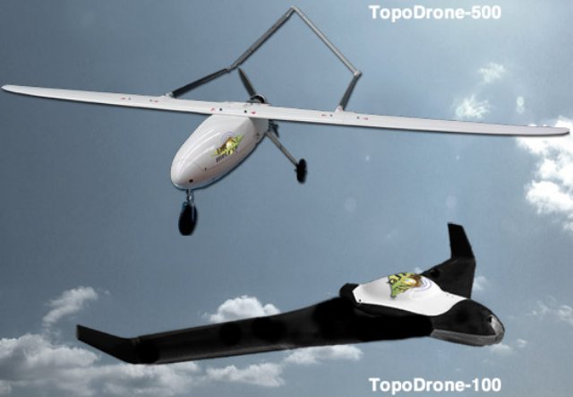
Mining computer tech company Maptek has made a significant investment in an Adelaide-based start-up, DroneMetrex . Dronemetrex has developed an innovative new system for aerial photogrammetric mapping from a small unmanned aircraft system (UAS) called the Topodrone-100.
Dronemetrex Managing Director Tom Tadrowski would not disclose the exact nature of the investment, instead saying that the Topodrone-100 is a significantly more accurate system than other UAS mapping systems on the market.
“We’ve built a mapping system from the ground up, everything is designed for the UAS from the start,” Tadrowski said.
“Other companies are building UAS and then putting mapping systems in them, but no-one’s ever going to be able to do it properly that way,” he said. “We design the whole system to be the same as DGPS, with real time, kinematic surveying… we’re getting elevation accuracy of 25mm, but we’ve actually been getting better than that. Our competitors are getting about half a metre to a metre accuracy, although they’ll try to tell you different, but no-one will do it with their hand on their heart.”
Maptek General Manager Peter Johnson says ‘The DroneMetrex technology will be invaluable for many of our customers and will provide new and efficient ways to manage both large projects and regular spatial measurement challenges. This rapid data acquisition capability will deliver immediate rewards to the resources industry’.
Tom Tadrowski, Managing Director of DroneMetrex and an experienced mapping photogrammetrist and land surveyor, says ‘the support of Maptek and its strong global network will accelerate our growth. The rigorous research and development skills and robust software capability in Maptek will enhance our products and ensure our customers gain maximum benefit from the data captured by our TopoDrone-100 systems.’
The Topodrone-100 weighs 2.5kg, with a total payload of 5kg, is battery powered with endurance up to 60 minutes, and has a catapult launching system.
Source: Press Release

