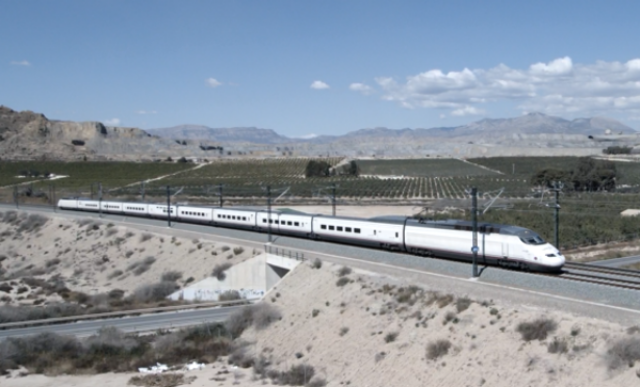
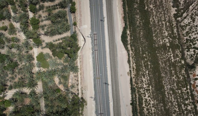
Spanish tech company SigmaRail recently used drones to perform a survey of the Alicante-Murcia high-speed line in south-eastern Spain. The data captured has been used to create an accurate digital model of the rail corridor in order to validate performance and examine engineering priorities.
Unmanned aerial vehicles (UAVs) are making the process of capturing and monitoring rail information safer, cheaper and faster worldwide. Tech companies are therefore looking for new problems that can be solved by drones, eliminating the need to have workers traipsing along railway tracks.
Spanish tech innovator SigmaRail recently set its sights on signalling as the next potential avenue for drone domination. In late 2017, the company’s drones ventured out over a high-speed rail corridor being constructed between the Spanish cities of Alicante and Murcia. Images captured by the drone were used to create an accurate digital model of the rail corridor, which provided vital survey data for the company’s client, CAF Signalling.
This first run of the system showcased the potential benefits of the automated drone solution for greenfield and brownfield rail projects. The ability to view an accurate digital picture of a railway vastly decreases the cost and time required for surveys, according to SigmaRail co-founder Jorge Lopez-Sanchez.
“What our clients our telling us is that it’s a huge advantage because you have a real picture of what is installed,” he says. “Usually they work with signalling plans, drawings and a lot of paper. Now, you have a real picture of the rail corridor right there.”
The Alicante-Murcia line is but a small fraction of the EU’s Mediterranean Corridor, one of six rail corridors being developed with unified signalling systems under the European Rail Traffic Management System (ERTMS) standard.
To meet the standard, CAF Signalling needed to be able to accurately locate specific assets along the line and measure distances between them, enabling trackside infrastructure to send vital information to trains, such as the maximum distance they can run safely and points on the track they cannot cross. Nevertheless, administrations or engineering companies are often unable to provide information with enough accuracy for ERTMS suppliers.
“You have multiple companies, with each one working on a different technology, and they are doing this geographic location of the assets for their purposes,” says Lopez-Sanchez. “Those guys hand over their information, but it’s not in a format with the accuracy that the signalling guys require.”
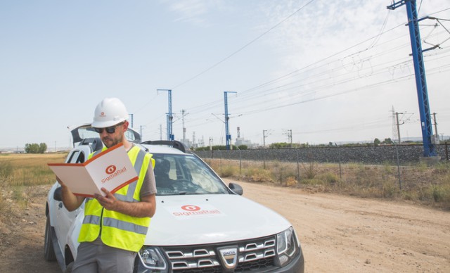
Thus, signalling companies are generally required to carry out their own surveys using wheel measuring and GPS technology. This entails sending workers out during constrained maintenance time slots at night, a procedure that is not only hazardous but also increases the potential for human error.
This is where the drones come into play. For the Alicante-Murcia project, SigmaRail created specific tools to put data taken from UAVs into a format that CAF could use to programme ERTMS equipment. This process, Lopez-Sanchez claims, had not been done before.
“For them it was a huge gain because not only can we gather the information without accessing the track, but we also gave them the information in their language and the format they wanted so they can feed it into their data operation tools and all their programming methods,” he says.
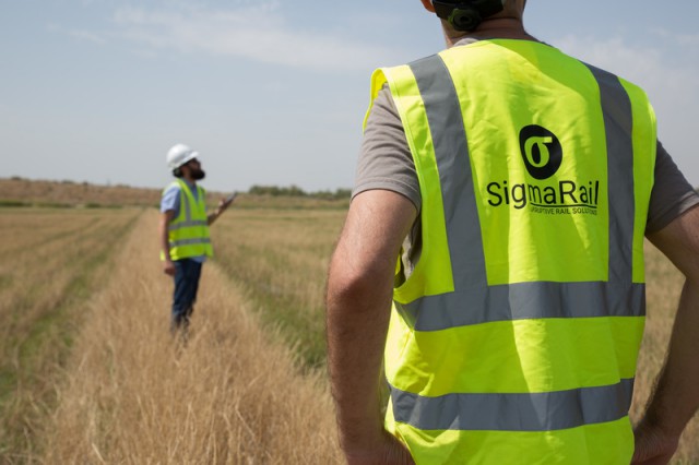
Developed in collaboration with the research group at the UC3M Intelligent Systems Laboratory, SigmaRail’s drones are programmed to follow specific waypoints along the track autonomously, with manual input only required at predetermined take-off and landing points.
Equipped with RGB or infrared cameras, the drones take thousands of pictures, each of which is geo-localised using an on-board GPS. The UAVs can cover a 6km section in less than an hour, while a 20-minute flight can accumulate 2GB of usable data.
The images are post-processed with dedicated software, which matches the common points on each picture and pairs them with a selection of ground control points alongside the track to create an accurate 3D model of the entire rail corridor, which can be viewed via an online platform called SigmaQ. Resembling a sort of ‘Google Maps’ for railways, it can be used by engineering companies to highlight where maintenance is required.
“It’s like if you are taking 3D model photos from a car, so instead of just being a machine or just a piece of equipment, it’s the whole track with all of the elements there,” says Lopez-Sanchez.
The digital railroad can also be used to automatically verify the correct installation of railway elements on the track against various engineering rules, whether these are supplied by international bodies such as the European Union Agency for Railways (ERA), or by engineering companies themselves. During the Alicante-Murcia project, the system was used to verify 2,200 elements against 92 engineering rules.
“The time savings are massive,” says Lopez-Sanchez, as “once the tool is developed you can check everything automatically in less than a minute”.
However, the Alicante-Murcia project highlighted certain limitations involved with using drones. Similar to other countries, Spanish regulations limit the distance that drone operators can fly in one period, while existing infrastructure and rail operations can also require additional legwork to appease rail operators.
“There is a conventional line running in parallel with the high-speed line, so we needed to produce a study on how we are going to affect the drivers on the other line while we were operating, or what will happen if we lose the GPS signal to the drones or the radio communications,” says Lopez-Sanchez.
Giving meaning to railway data
According to Lopez-Sanchez, the algorithm powering the drones’ image recognition software already has a reliability range of between 96% and 98%. Nevertheless, the goal for the company now will be improving the system’s capacity to detect and prevent maintenance issues on railways. Machine learning will be an important part of this process, as the more images supplied to the system, the better it will become at recognising rail elements.
Following the success of the Alicante-Murcia survey, SigmaRail is working on the development of new algorithms for its image recognition software with the support of the European Space Agency and local universities. The company is also speaking to consultancy companies, infra managers, auditors and safety companies to find out to maximise the potential of its drone technology.
“We are talking to them in order to know more about their maintenance issues so we can train our technology to help them to detect and prevent their issues, so they can plan more efficiently,” says Lopez-Sanchez. “For designers, we have the 3D model. It can be at the early stages on the construction phase, so we can help them to make the decisions to say ‘okay, where do we install the equipment, and how do we do it in a way that is more efficient in the long term?’”
The use of drones in the rail industry is an example of its growing interest in ‘digital rail’, according to Lopez-Sanchez. However, the next challenge will be highlighting the opportunities that big data represents so that the investment in these technologies isn’t wasted.
“The real challenge is just to give some meaning to all that data that is useful to the companies, whether they are infra managers, consultancy firms or signalling companies,” he says. “That’s what we are working on – just giving meaning to all the data capture – and that’s the real challenge.”
Source: Railway Technology


