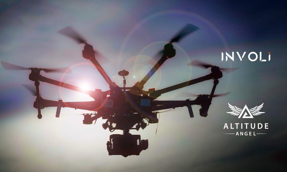
Altitude Angel, a world-wide UTM (Unmanned Traffic Management) technology provider and INVOLI, a low-altitude air traffic data provider, are to form a strategic partnership which will give ANSPs, operators, pilots and drone-centric risk management applications, an unrivalled picture of airspace. The partnership will help define the requirements for UTM both now and in the future.
Having worked successfully together on the Gulf of Finland trials throughout the summer of 2019 and most recently at the African Drone Forum and Lake Kivu Challenge 2020, where Altitude Angel were the lead and umbrella UTM provider and INVOLI delivered its unique air traffic awareness system and drone tracking solution, it was clear to both organisations the benefits of moving from an informal working relationship to forming a strategic partnership.
By integrating INVOLI’s complete and reliable low-altitude air traffic awareness data stream with Altitude Angel’s airspace and ground hazard data, via its GuardianUTM platform, a true situational awareness picture of the drone ecosystem will be created. This in turn will enable organisations who are adopting UTM technologies to have a ‘best-in-class’ enriched data source.
In addition, Altitude Angel will also have the ability to propagate the data from INVOLI to other applications and partner platforms, including, DroneSafetyMap.com, Guardian App, and bespoke national drone apps from ANSPs.
Manu Lubrano, INVOLI CEO and co-founder said:
“As two of the world’s most progressive organisations whose shared aim is to open our skies safely and securely to regular, automated drone flights, I’m excited by our partnership with Altitude Angel. The next few years are critical for the drone industry, and we’re pleased to have Altitude Angel at our side to together enable safe drone-use worldwide.”
Richard Parker, Altitude Angel, CEO and founder added:
“Strategic partnerships, like the one we have formed with INVOLI, are a clear demonstration of how two businesses with a mutual vision for future drone flights can collaborate and in doing so, move an entire industry forward. The addition of INVOLI’s data to our already comprehensive platform will bring a new clarity to the airspace picture and in doing so, bring BVLOS flight a step closer.”
Altitude Angel’s airspace and ground hazard data is already integrated into leading drone-centric risk management applications, including Airmate, Skywatch and Dronecloud. The data supplied gives operators a unified view of the airspace to ensure they can fly safely – whatever application they are using.
Source: Press Release

