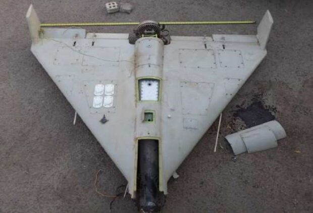
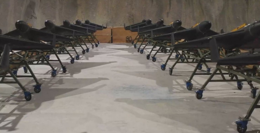
Iranian kamikaze drones Shahed-131 contain processors manufactured by the American company Texas Instruments, according to a report published by the Strategic Communications Department of the Armed Forces of Ukraine.
The Russian Federation bought from Iran not only the Shahed-136 kamikaze drones, which the Rashists began to use to attack cities, in particular Odessa , but also the Shahed-131. A consignment up to 1,000 Shahed-136 drones was bought by Russia from Iran in August after the Kremlin began to run low on expensive cruise missiles
Given the serial number and smaller dimensions, Shahed-131 is an earlier version of Shahed-136, but with a similar principle of operation and, most likely, maximally unified in all main components, primarily electronics. The layout and aerodynamic solution are also identical.
Regarding the parameters of the Shahed-131, it is slightly smaller than the Shahed-136, the wingspan is 2.2 m against 2.5 m, the length is 2.6 m against 3.5 m. The take-off weight is estimated at 135 kg against 200 kg. The size of the high-explosive warhead with preformed Shahed-131 fragmentation is estimated at 10-15 kg. The flight range is estimated to be up to 900 km.
At the same time, the given report makes it possible to roughly estimate the capabilities of the Shahed-136, in relation to which there is still a gap in the public space regarding the mass of the combat unit and the flight range. If the ratio of take-off weight to the warhead is preserved in the Shahed-136, then the more powerful version carries 15-22 kg.
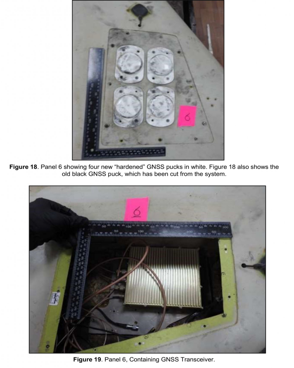
But the main value of the report lies in the analysis of electronic components. As predicted, all of them are civilian, and of the guidance systems, only a civilian-class GPS receiver is used, which allows this drone to be used exclusively against stationary objects.
The flight control unit is assembled from five boards that contain TMS320 F28335 processors from Texas Instruments (freely available on the market).
At the same time, an unpleasant surprise was found, a system was added to GPS guidance that prevents GPS signals from being replaced by electronic devices, but, judging by the description, it does not prevent interference. Also, a primitive inertial system is installed on the drone, which allows it to maintain an approximate course and height if satellite navigation is prohibited.
That is, when the drone flies into an area where GPS signals are suppressed, the drone begins to be blown away by the wind, and it also runs into errors of the inertial system itself. Depending on the speed and direction of the wind, the deviation will be 5% of the distance covered without GPS. On a section of 5 km, this will give an error of 250 meters. Obviously, when the GPS signal is received again, the drone will adjust its flight.
Sources: Defense Express; Euromaidan Press


Since GPS is a mostly US based navigation system, is it possible to set up a recognition system so the drone has to have permission to access GPS satellite data?
no. gps app just receives data from satelites, it doesn’t send/request any