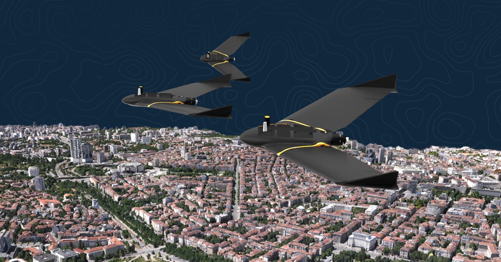
Canada has authorized IN-FLIGHT Data to operate drone swarms beyond visual line of sight (BVLOS) for fighting wildfires in Canada. This national authorization allows for simultaneous drone operations up to 2,500 feet high, in Class F and Class G airspace, day or night.
This new, first-of-its-kind, permission ushers in a new era in remote aviation for fighting the wildfires that have ravaged Canada and North America. IN-FLIGHT Data can now fly new wildfire missions not previously permitted under the waiver. This means vastly more efficient data collection with richer data sets for targeting the fire.
Simultaneous drone operations, or SIMOPS, is a specific type of advanced drone operation, where an advanced pilot is able to control multiple aircraft from a single control station.
Transport Canada is focused on developing aviation regulations for low-risk BVLOS operations in Canada. To make BVLOS operations safe, scalable and sustainable, the regulator recently charted a path toward standard low-risk BVLOS regulations earlier this year. The proposed regulations are currently in the public comment phase.
Transport Canada’s long-term goal is to safely integrate drones into Canadian skies. This is similar to other ICAO countries who are developing similar transportation innovation, such as the US, European Union, Australia and New Zealand. These technologies, such as remote traffic management and SIMOPS, marks a new type of innovation and efficiency in aviation in Canada.
About IN-FLIGHT Data
Based in Okotoks Alberta Canada, this drone service provider has built an outstanding client base since its 2014 inception, carrying out missions for private companies, organizations, and government agencies. They are a Canadian SAIL 6 operator, hold three Guinness World Records for its drone flights, have a perfect safety record, and also train advanced drone pilots.
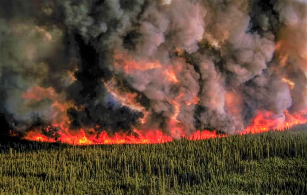
Top Photo: BC wildfires impacting major city of Kelowna
Source: Press Release


