The Northern Region State of Alaska Department of Transportation and Public Facilities (DEPARTMENT), Division of Preconstruction Services, Locations Section is soliciting professional services for photogrammetric products utilizing unmanned aerial vehicles (UAV) for various projects.
A complete description of services is contained in the RFP Package. Estimated period for performance of the Agreement is approximately May 2017 through December 2019. Cost of these professional services is expected to be in the range of $250,000 and $500,000.
The Alaska Department of Transportation and Public Facilities is also increasingly relying on the unmanned aerial vehicles to supplement information collected on the ground with views from the sky.
A handful of employees have already received licenses from the Federal Aviation Administration to operate unmanned aerial vehicles, officials said this week.
More employees in the coming weeks will also receive a license and add drone flying to their list of duties. They will help collect aerial images that support projects involving roads, bridges or other structures, officials said.
A key step in the agency’s efforts to capitalize on the remotely operated aircraft came last summer, when the Federal Aviation Administration finished new rules for drone operations, state officials said.
John Binder, DOT deputy commissioner of aviation, said drones could save tens of thousands of dollars on some projects. They can replace costly airborne surveyors that currently fly in chartered planes with a land-based operator using a drone to capture images of terrain, lakes and rivers.
Currently, a complete aerial survey at a remote Alaska airport can cost $100,000, he said. With drones, that expense can be reduced to the cost of the machine, perhaps $2,500, and flying the DOT drone operator into the field, said Binder.
The benefits could be huge for an agency operating almost 250 airports across the state, Binder said.
“Holy cow, there are some great opportunities here,” Binder said.
For example, a drone can help in the aftermath of an avalanche: Responders can quickly inspect debris strewn across a highway. A drone could help them determine whether motorists were struck, how big the avalanche path was, and how soon the road might be cleared.
“Now we work an avalanche from either end, so this would be easier,” said Meadow Bailey, a DOT spokeswoman.
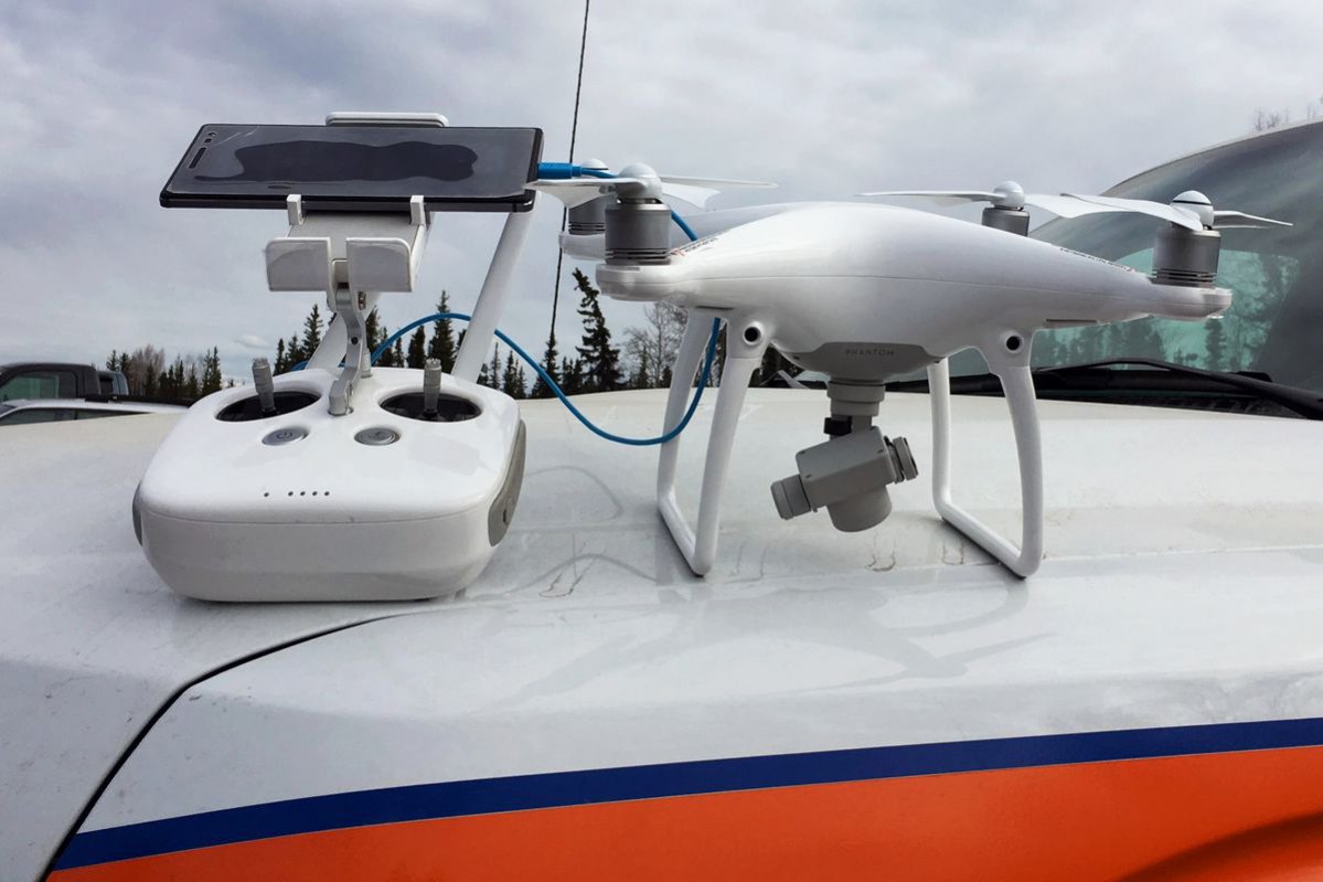
Photo: DJI Phantom 4 drone, sitting on a DOT truck, is one of a handful of drones purchased by the agency. (Courtesy of DOTPF)
Sources: State of Alaska, Alaska News
