Dronecloud, the drone Flight Management Software provider, has selected Frequentis to join a consortium that will collaborate on the development of open standard integrations to help unlock Beyond Visual Line of Sight (BVLOS) Drone flights in the UK. Continue reading
Category Archives: BVLOS
Getting to Unified Surveillance: The Comprehensive Detect-and-Avoid Solution
A future where remotely-piloted aircraft can be flown safely without human intervention will open new possibilities and a wide range of benefits. But while current technology has advanced rapidly toward assuring safe and reliable unmanned traffic management (UTM), disparities in airspace monitoring systems threaten the next phase of progress. Continue reading
Skyports Adopts Kongsberg Geospatial Tool to Enhance BVLOS Drone Deliveries
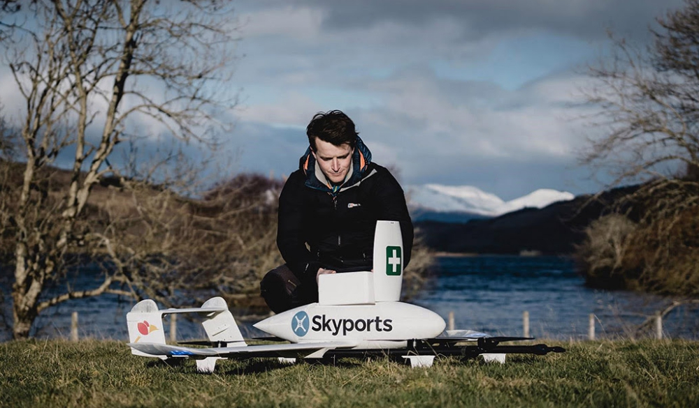
Kongsberg Geospatial, developer of the TerraLens Geospatial SDK, and Skyports, an enabler of advanced air mobility (AAM), announced that the Kongsberg Geospatial IRIS airspace situational awareness application has been adopted by Skyports. The technology will be used by Skyports to enhance their BVLOS operations. Continue reading
NUAIR Integrates AURA Network Systems
The Northeast UAS Airspace Integration Research Alliance (NUAIR) and AURA Network Systems (AURA) announced a collaboration to install infrastructure throughout New York’s 50-mile unmanned aircraft systems (UAS) corridor, utilizing AURA’s secure command-and-control (C2) communication links that provide voice, data, and navigation capabilities for the aviation industry. Continue reading
NASA and LONGBOW to Develop Drone Flight Research Corridors
NASA and The Longbow Group, LLC (LONGBOW) are entering a Space Act Agreement (SAA) with the intention of establishing beyond visual line-of-sight (BVLOS) flight-corridors for Advanced Air Mobility (AAM) unmanned aerial system (UAS) flight tests in Hampton Roads, Virginia. Continue reading
Flirtey Implements Kongsberg Geospatial IRIS Airspace Awareness Technology
Kongsberg Geospatial and Flirtey announced that the Kongsberg Geospatial IRIS airspace situational awareness application has been implemented by Flirtey within their autonomous software platform that conducts BVLOS autonomous flight operations. Continue reading
UK CAA Authorises Routine BVLOS Operations Trial
 In a significant step forward for the drone industry, beyond visual line of sight (BVLOS) command & control solution developer sees.ai has become the first company in the UK to secure authorisation from the UK Civil Aviation Authority (CAA) to trial a concept for routine Beyond Visual Line of Sight (BVLOS) operations.
airBaltic and LMT to Collaborate on Drone Innovations
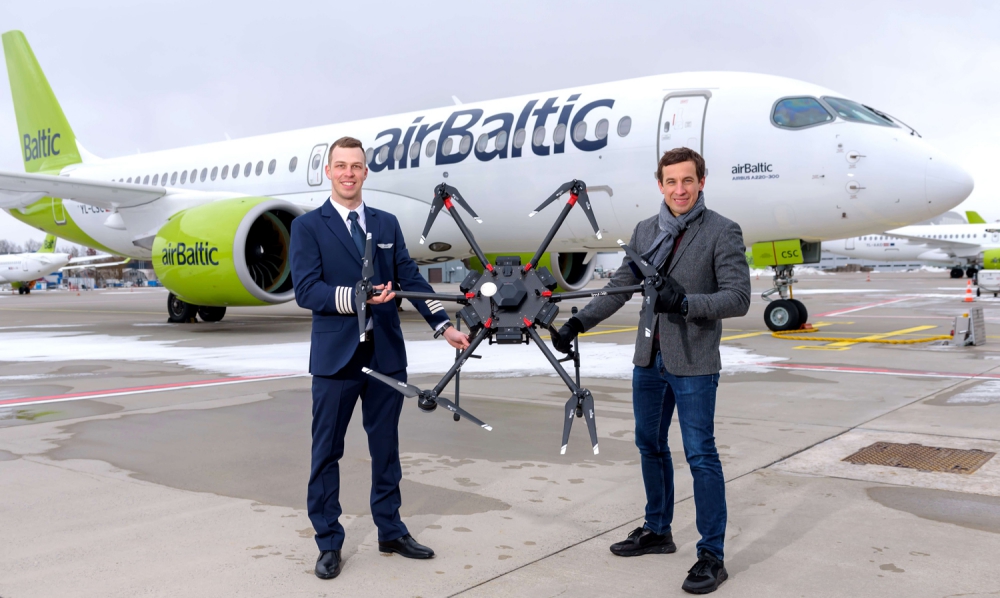
Latvian national airline airBaltic and LMT have signed an agreement for collaboration within the drone industry. The agreement foresees a joined development of various drone solutions overseen by general aviation and the development of LMT’s learning program for drone pilots. Both companies will also collaborate on testing the mobile network coverage in the air space. Continue reading


