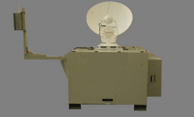
 ST Electronics (Satcom & Sensor Systems) Pte Ltd, a manufacturer and supplier of VSAT products and solutions, has announced the release of the Agilis HALE UAV Communication Solution. The new solution is a fully integrated, highly efficient, low latency ground infrastructure for High Altitude Long-Endurance (HALE) Unmanned Aerial Vehicles that can deliver satellite connectivity around the globe.
Category Archives: Data Links & Communications
DARPA Wants More Flexible RF System for sUAS
 Today’s radio-frequency (RF) systems for radar, electronic warfare (EW) and communications use separate, dedicated hardware, software and antennas, making it difficult to fit all three functions on smaller platforms such as unmanned aircraft systems (UAS) because of the space and power required. Darpa is launching a program to develop an RF system capable of adaptively and flexibly switching among communications, radar and EW modes.
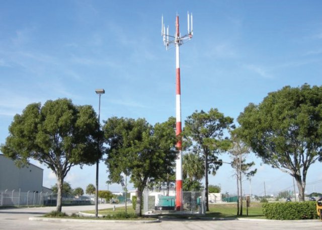
Harris ADS-B Extend Supplements ADS-B Network
 Harris Corporation has introduced a comprehensive solution to increase the safety of drones and other commercial unmanned aircraft systems (UAS) flying at low altitudes in the U.S.
Communication Range of 120 km by SpyLite Mini UAV
BlueBird Aero Systems Ltd – a designer and developer of combat-proven Micro, Mini and Small tactical UAS solutions and peripheral equipment – announced that its SpyLite Mini UAV, weighing only ~9 kg, has achieved an extraordinary communication range of 120 km, an outstanding achievement and a new world record in the Mini UAV category. Continue reading
Laser-Based Aircraft Tracking System in Development
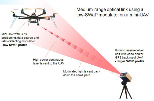
 A ground-breaking tracking system called HYPERION based on eye-safe lasers could enable aircraft, unmanned aerial vehicles (UAVs) and even orbiting satellites to transmit vital data to ground stations more securely, quickly and efficiently. Continue reading
Automatic Beam Switching for UAS on Intelsat EpicNG
Intelsat General Corporation (IGC), a wholly owned subsidiary of Intelsat S.A., operator of the world’s first Globalized Network, powered by its leading satellite backbone, and L-3 Communication Systems-West (L-3 CS-West) has announced the successful demonstration of new automatic beam switching technology that enables Unmanned Airborne Systems (UAS) fitted with L-3 CS-West satellite communications packages to operate on Intelsat’s high-throughput satellite (HTS) platform, Intelsat EpicNG. Continue reading
World’s Smallest Solution for Tactical UAVs by Cobham
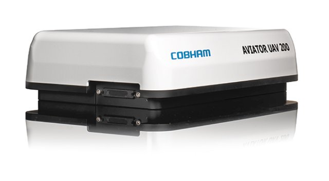
The AVIATOR UAV 200 has been introduced by Cobham to significantly enhance a Tactical Unmanned Aerial Vehicle’s (TUAV) performance, range and payload capability by enabling operators to take advantage of the higher speed connectivity from today’s satellite networks. Continue reading


