Lagos is the commercial hub of Nigeria and one of the most populous cities in Africa. It is estimated that over 21 million people live and work in Lagos State despite its size. Continue reading
Category Archives: Aerial Photography
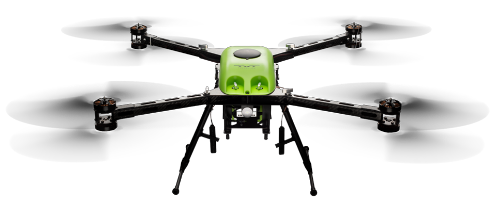
US-Built QuadCopter with 70 Minutes Flight Time
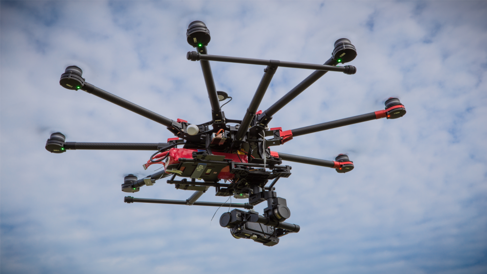
TerraView, a California-based aerial technology company, has unveiled the RangePro X8 — an industrial unmanned aerial vehicle (UAV) designed to fly for more than 70 minutes in real-world conditions with a standard sensor payload. Proudly engineered and assembled in the USA, the RangePro X8 was engineered specifically for industrial, first responder and government enterprise data capture. Continue reading
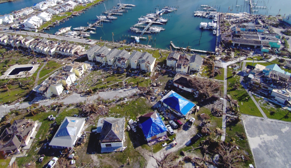
Swift Assists Bahamas Relief Efforts
The Government of Bahamas recently engaged Swift Engineering’s Unmanned Aerial Systems (UAS) Team to support the country’s post-hurricane relief efforts. Following the Category 5 Hurricane that caused damage along with parts of its archipelago, the government engaged Swift to conduct 98 day and night mapping missions over two weeks. Continue reading
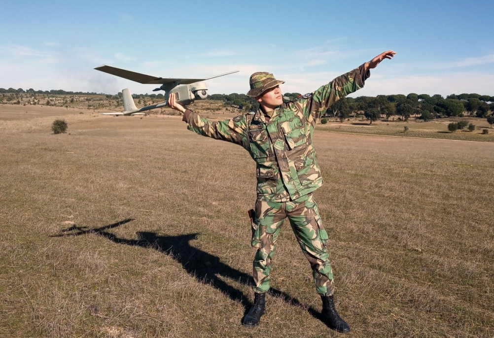
Portuguese Army Requires Small UAS
The Portuguese Army is looking to acquire additional NATO Class 1 (under 150 kg) hand-launched unmanned aircraft systems (UAS) to enhance tactical situational awareness of its troops. Continue reading
DJI Studio Custom Aerial Cinematography Service
STORM is a custom aerial platform powered by DJI Studio. It’s designed for the professional cinematography industry, able to carry various popular cinema cameras and lenses with the support of Ronin 2, Master Wheels, or Force Pro, elevating aerial photography to the highest standards. Continue reading
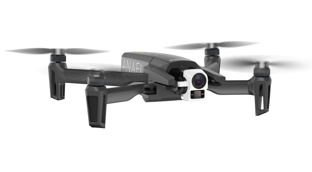
Parrot Launches Thermal Ultra-Compact Lightweight Drone Solution
Parrot has announced ANAFI Thermal: the all-in-one, drone-based solution that provides easy to use, sophisticated and high-quality thermography (drone + sensor + software), with proven reliability and outstanding performance. Continue reading
Hollywood’s Drone War: Licensed Pilots or Unionized Photographers?
Game of Thrones, Fate of the Furious and Jurassic World are just some of the Hollywood productions in recent years taking advantage of drone technology for stunning aerial shots. But how about the individuals who remotely pilot these drones? Where do they fit in within the entertainment industry’s labor ranks? Continue reading
Delair Drone Data now Integrates with Trimble Business Center v5.0
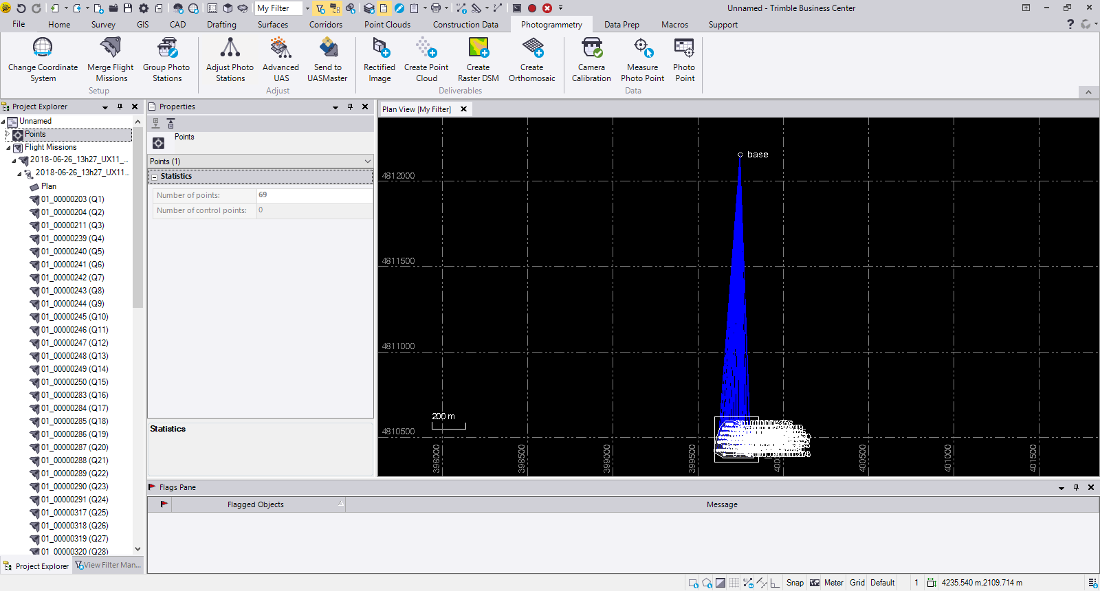
Delair has announced interoperability of high-precision data acquired from the Delair UX11 drone with version 5.0 of the Trimble Business Center software. The integration enables geospatial professionals to simply drag and drop Delair UX11 PPK data directly into Trimble Business Center projects. Users can combine the high-quality flight data with other sensor data to rapidly create vivid orthomosaics and highly accurate surface models. Continue reading

