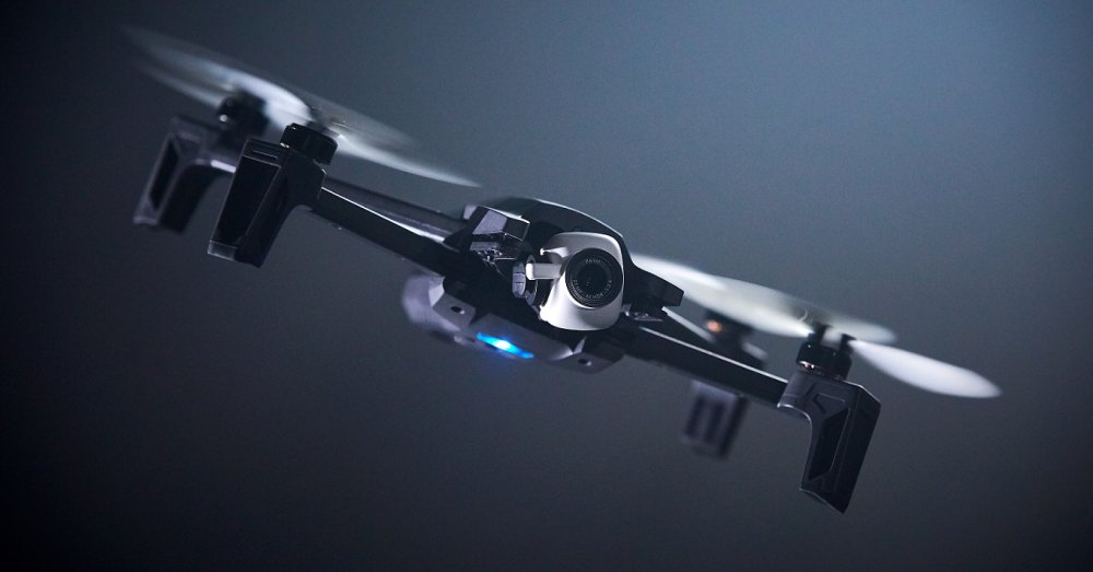
For more than 2 years in Paris, a team of passionate engineers have been designing ANAFI: a drone with new capabilities. For the development of this new-generation drone, Parrot has gone into a start-up mode by mobilizing the entire company and taking a new step for the drone industry. Continue reading
Category Archives: Aerial Photography
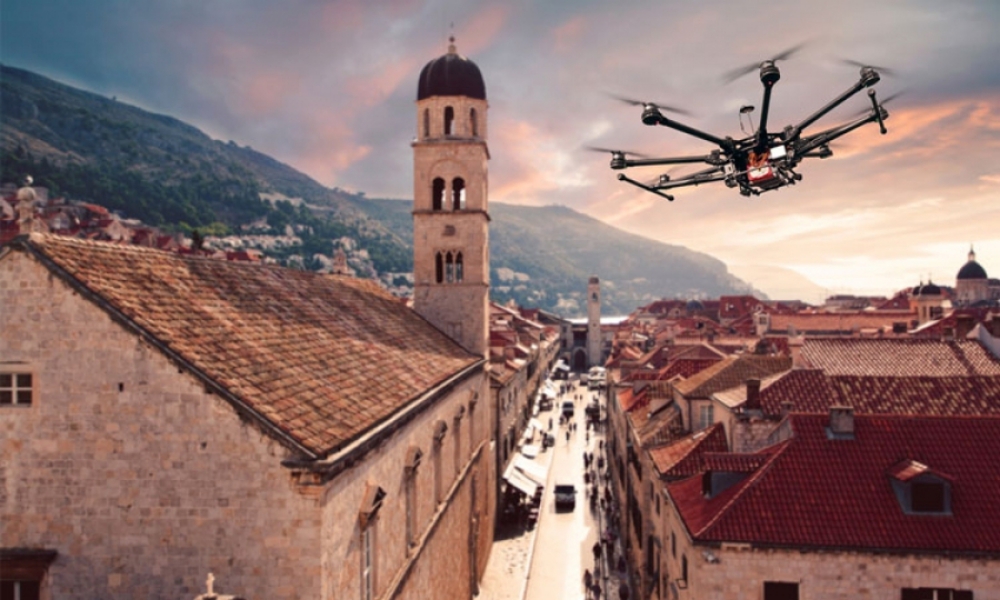
Croatia Relaxes Drone Laws
Drones and companies using drones for video and photo footage has been a boom business is Croatia over the past few years. However, due to extremely tight restrictions put in place by the Croatian Civil Aviation Agency (CCAA) more and more calls have been coming from drone users to relax some of these rules. Continue reading
JetLease Signs MoU with FLYING-CAM

L-R: Tom Rothrauff, President of the Trident Group, David Willems, Business Development Director for UMS SKELDAR, Katy Glynn, Vice President of JetLease, Emmanuel Previnaire, Founder and CEO of FLYING-CAM
The world’s largest private leasing company, JetLease, has signed a Memorandum of Understanding (MoU) with FLYING-CAM, the unmanned aerial vehicle (UAV) specialist and provider of aerial cinematography for blockbuster movies including James Bond, Harry Potter and Mission Impossible, to deliver a unique portfolio of leasing solutions to FLYING-CAM’s global customer base. Continue reading
Drone’s Eye View from 33,000 Feet
Regulations in Russia aren’t as strict as in therest of the world, enabling drone pilot Denis Koryakin to fly his homebuilt, 2.3-pound craft to a staggering height of almost 33,000 feet. Continue reading
Drones Study Caribou Migration
Ecologists Andrew Berdahl, a Santa Fe Institute fellow, Colin Torney of the University of Glasgow, and colleagues flew drones to capture footage of Dolphin and Union caribou, a Canadian herd, as the animals crossed from Victoria Island to the Canadian mainland in the last stage of their fall migration. Continue reading
Phase One Industrial and Aerialtronics to Partner
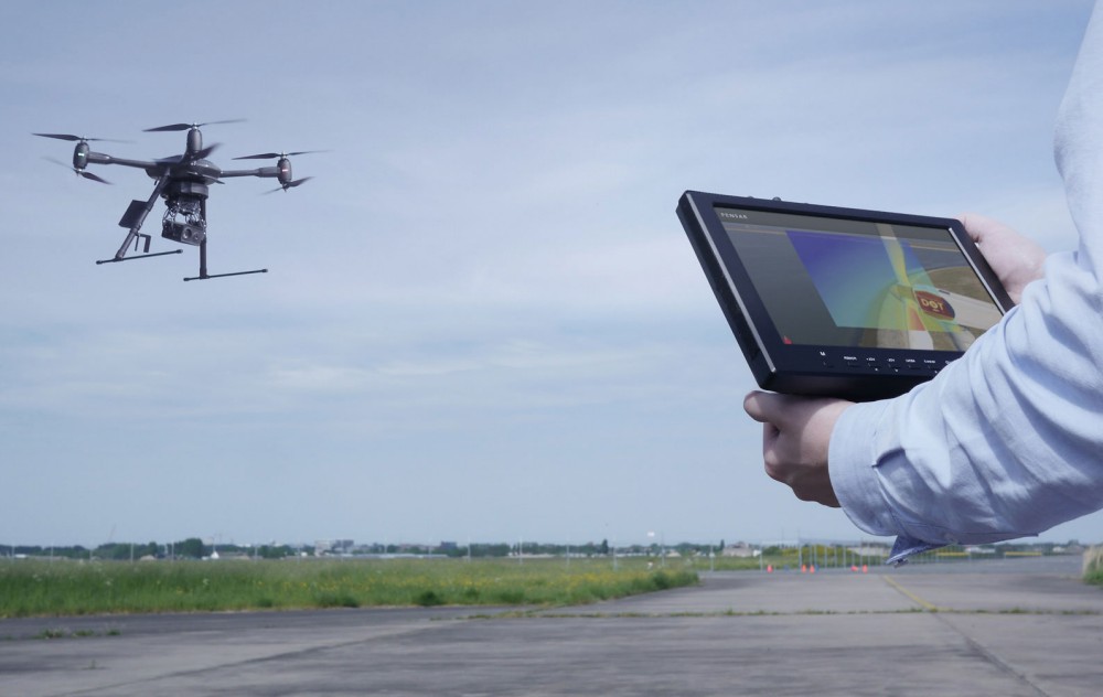
Phase One Industrial, a global provider of medium format metric cameras and imaging solutions for aerial applications, announced that it has signed an agreement with Aerialtronics DV, a developer of end-to-end aerial data capture solutions. Together, these companies’ high-end products are opening up new opportunities in high-accuracy mapping and inspection markets. Continue reading
High-Speed Mapping for High-Speed Rail
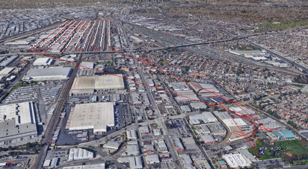
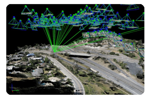
The California High Speed Rail Authority (CHSRA) is planning the first dedicated high-speed rail system in the U.S. When completed, it will enable passengers to travel from San Francisco to Los Angeles in under three hours, at speeds greater than 200 mph. Continue reading
NV5 Acquires Aerial Mapping Company, Skyscene
NV5 Global, Inc. a provider of professional and technical engineering and consulting solutions, announced today that it has acquired Skyscene, LLC, a provider of Unmanned Aerial Vehicle (UAV) flight services headquartered in San Diego, California. Continue reading

