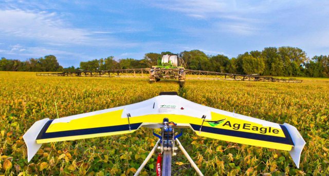
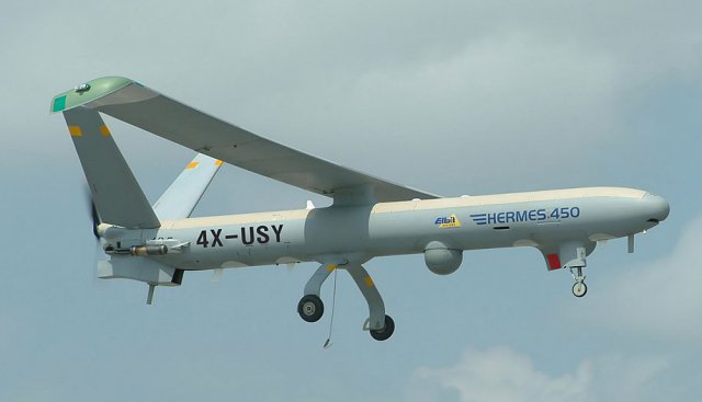
 Imagine a 1,200 pound Hermes 450 UAV zipping through the skies with its camera lens taking photos of the crops below – while a manned plane flies along next to it.
Category Archives: Agriculture
Colorado Department of Agriculture Safety Video
Flying drones is fun, but many people don’t realize how many crop-dusting aircraft and other low-flying aircraft share the skies with you. Can crop-dusting pilots see a drone to avoid hitting it? This shows you the answer. Continue reading
DJI Enters Agriculture Market with $15K Octocopter
China’s SZ DJI Technology Co. is setting its sights on the agriculture industry with the launch of a crop sprayer that will test whether farming is fertile ground for drone technology. Continue reading
Deveron Acquires Eagle Scout Imaging
Deveron Resources Ltd. has executed a binding Letter Agreement outlining the terms and conditions upon which Deveron will acquire 2487473 Ontario Inc. operating as Eagle Scout Imaging. Continue reading
Kansas State University and PrecisionHawk Developing UAS App that Predicts Corn Production
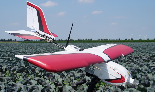 Kansas State University recently signed a research partnership with PrecisionHawk Inc., a Raleigh, North Carolina, company that develops unmanned aerial systems and applications that manage the data collected by the vehicles while in operation. The partnership establishes the four-year project “Advancing an end-to-end solution for agricultural applications of unmanned aerial systems and remote sensing,” which begins in September.
Trimble Launches ZX5 Multi-Rotor
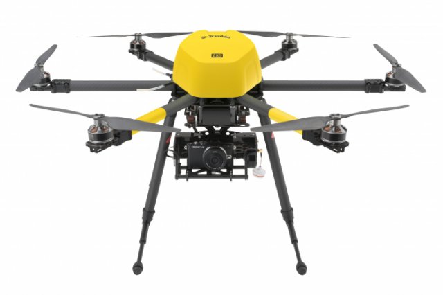
Trimble has announced the ZX5 Multirotor Unmanned Aircraft System (UAS), a new aerial imaging and workflow solution that captures and processes geo-referenced photo and video data for mapping, agriculture and inspection applications. Continue reading
NAAA Launches UAV Safety Campaign
The National Agricultural Aviation Association (NAAA) has launched a UAV safety campaign to raise awareness and prevent accidents between UAV operators and low-altitude manned aircraft. The first public outreach tool in the safety campaign is a UAV “safety stuffer” designed for aerial applicators to share with farmers and other agricultural stakeholders.
Opportunities with UAVs for ag
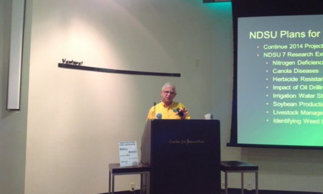 A great deal of work and research remains before agriculture takes full advantage of unmanned aerial vehicles, but tremendous opportunities justify the effort, UAV and ag officials say. Continue reading

