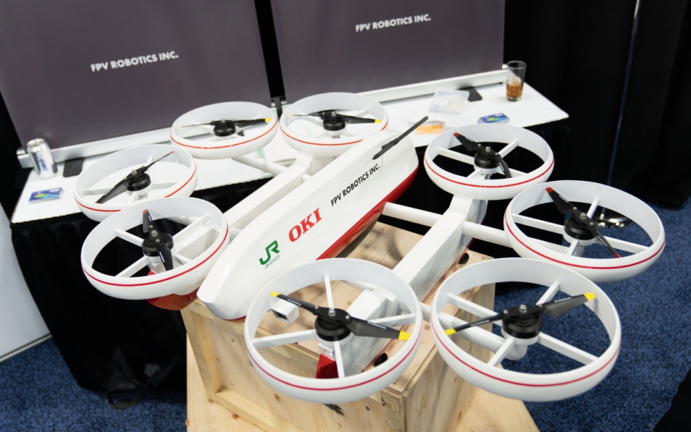
Japanese startup FPV Robotics is leveraging drone technology to address a growing global need: inspecting ageing infrastructure in an effort to avoid major issues like unexpected bridge collapses. FPV Robotics CEO and founder Masaki Komagata showed me his company’s production Waver drone, which is debuting for the first time ever at CES 2020 in Las Vegas. Continue reading
Category Archives: Construction
CEMEX Picks Delair for Digitalization of Construction Operations
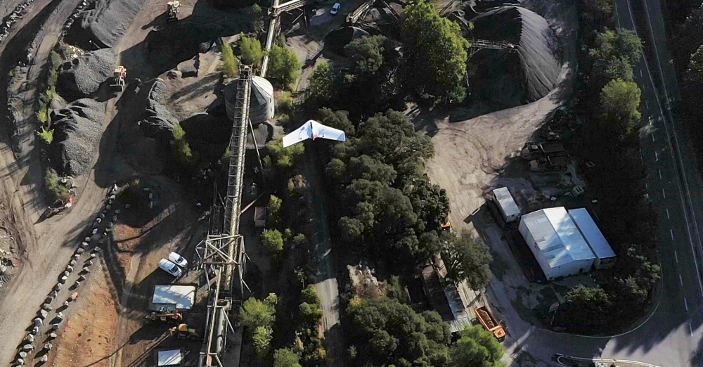
Delair, a provider of enterprise visual data management solutions, has signed an agreement in France with CEMEX, one of the global leaders for supplying products to the construction industry. As part of this three-year agreement, CEMEX will deploy delair.ai, a new cloud platform for analyzing and leveraging data collected by drones, satellites and other aerial methods, for their 60 aggregate production sites in France. Continue reading
Terra Drone Shows Benefits of Aerial LiDAR Surveys
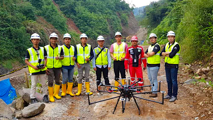
Terra Drone Indonesia, a group company of Terra Drone Corporation, one of the world’s largest providers of industrial drone solutions, has successfully completed two pilot projects that demonstrate how construction companies can benefit from drone surveying and mapping services. Continue reading
Wood Adopts Delair for Large Scale Surveying
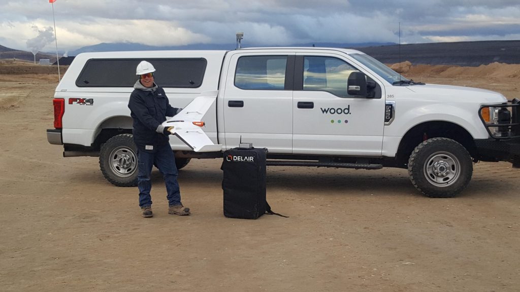
Delair, a supplier of commercial drone solutions, along with one of its regional resellers, Frontier Precision, announced that Wood has adopted the Delair UX11 high-performance UAV for its work in site planning and asset management in mining and quarry projects in the western US. Continue reading
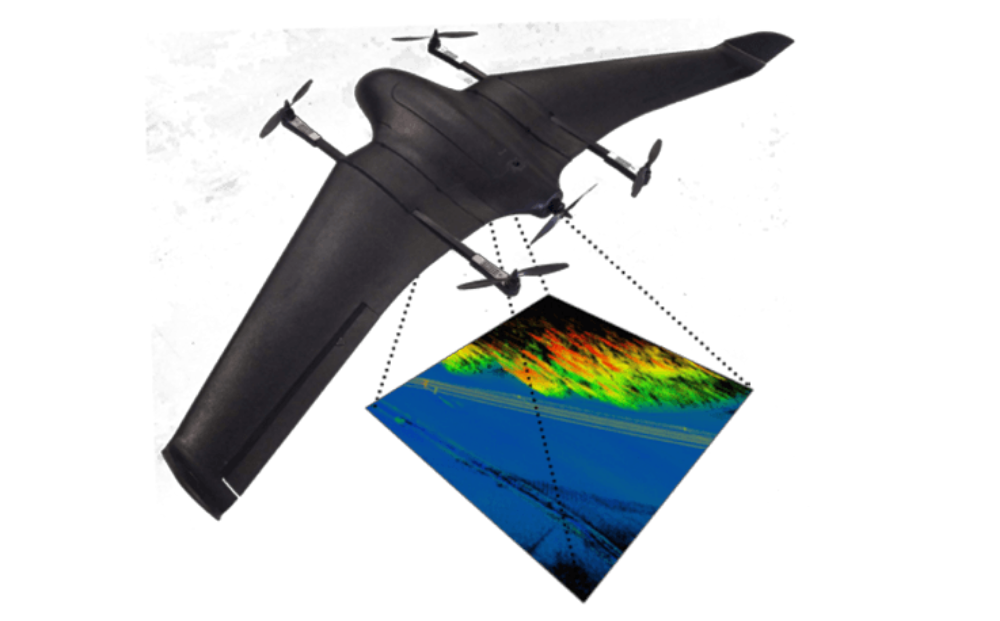
New VTOL UAV for Utilities, Wildlife and Disaster Inspection
To meet the growing demand for dedicated solutions in a wide range of drone enabled inspection tasks, Vertical Technologies have expanded their autonomous DeltaQuad Pro VTOL range with the DeltaQuad Pro #INSPECT. Continue reading
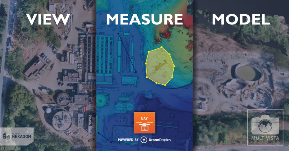
Multivista Partners with DroneDeploy on Advanced UAV Mapping Services
Multivista, part of Hexagon, has announced a partnership with DroneDeploy, a cloud software platform for commercial drones, to expand project management capabilities for the construction industry. Continue reading
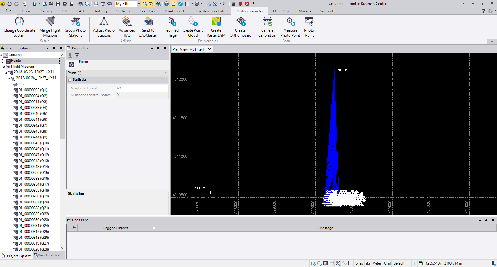
Delair Drone Data now Integrates with Trimble Business Center v5.0
Delair has announced interoperability of high-precision data acquired from the Delair UX11 drone with version 5.0 of the Trimble Business Center software. The integration enables geospatial professionals to simply drag and drop Delair UX11 PPK data directly into Trimble Business Center projects. Users can combine the high-quality flight data with other sensor data to rapidly create vivid orthomosaics and highly accurate surface models. Continue reading
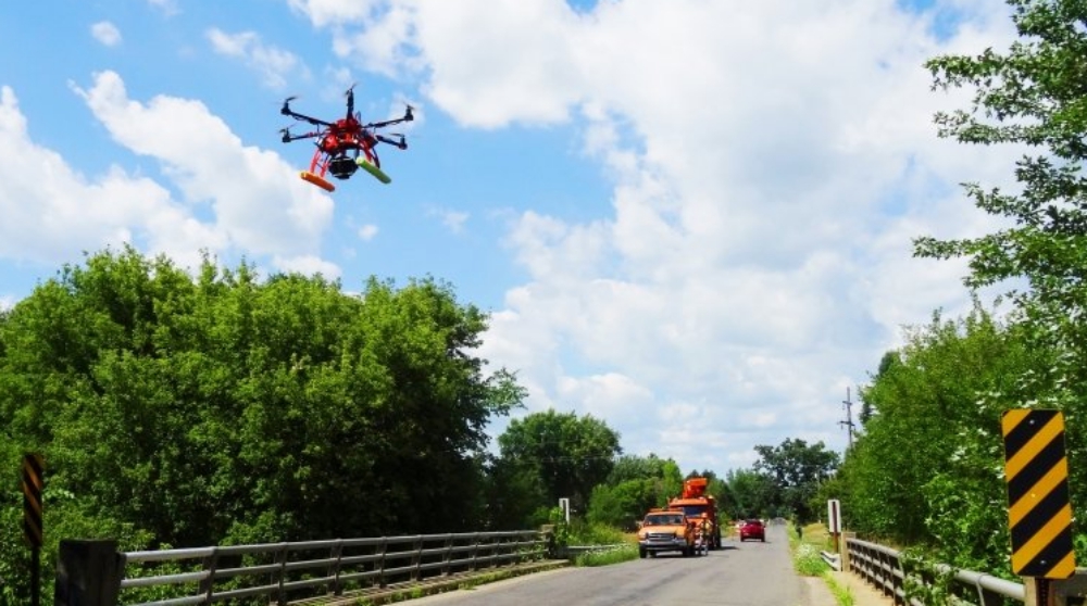
Bridge Inspections in the Age of Drones
Drones make bridge inspections safer and easier to document. A complementary 3-D bridge app developed by the Michigan Tech Research Institute also streamlines defect records. Continue reading

