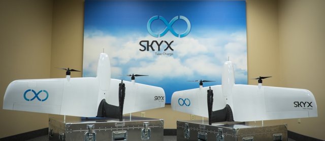
 SkyX is an Ontario, Canada-based company that is looking to improve the way those in the oil and gas sector use vehicles to detect any damage or threat to their operations. Currently, most companies use manned aircraft such as helicopters or ground vehicles to do the job. SkyX is looking to lower the cost of these operations and make them more efficient by using drones. Continue reading
Category Archives: Pipelines
New Aerial Inspection Company on Tyneside
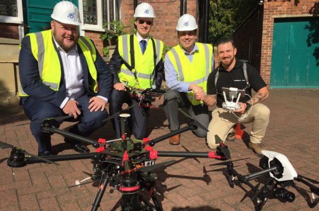 A new drone company has taken flight on Tyneside which aims to save the oil and gas industry millions. Inspect Air, based in Whitley Bay, North Tyneside, carries out aerial inspection surveying and photography using Unmanned Aircraft Systems (UAS).
Big Potential for Drones in the Arctic
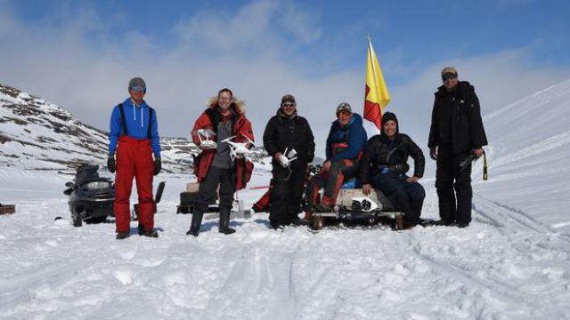 Kirt Ejesiak wasn’t very impressed with his first drone, purchased to take aerial photos of houses listed with his Property Guys real estate franchise in Iqaluit, Nunavut. But when a friend asked him to fly the drone over his roof to look for a leak, Mr. Ejesiak started thinking about other uses for unmanned aerial vehicles (UAV).
BVLOS UAS Energy Industry Flight Tests in Virginia
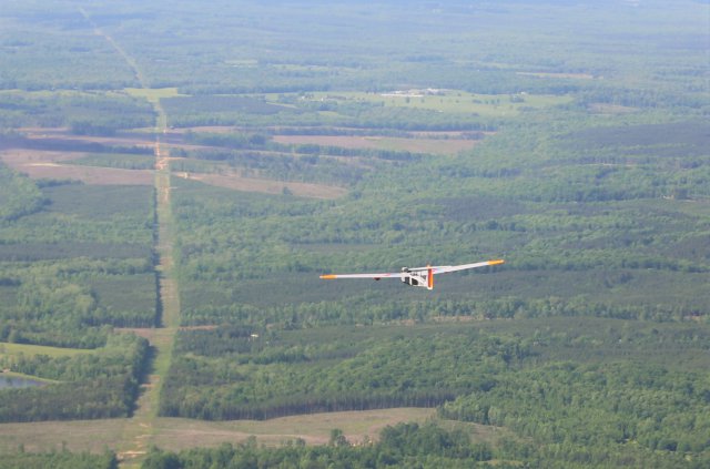 American Aerospace Technologies, Inc. (AATI) announced that it has successfully completed flight tests for the energy industry utilizing Unmanned Aircraft System (UAS) from the Farmville Regional Airport in Farmville, VA. The campaign just completed was the first in Virginia where flights originated at an operating airport, and the first with an end-to-end system that delivered critical data to end users in near real-time. Flights with AATI’s RS-20 UAS were conducted May 10-13.
DronePro Announces Multiple Strategic Partnerships
 DronePro, LLC, a provider of high tech aerial drone inspection services based out of Houston, Texas, has announced several new partnerships since obtaining its 333 exemption. These strategic partners include; Helix Energy, Versa Integrity, Reel Group and Offshore Energy Services. Continue reading
Monitoring the Oil Patch by UAS
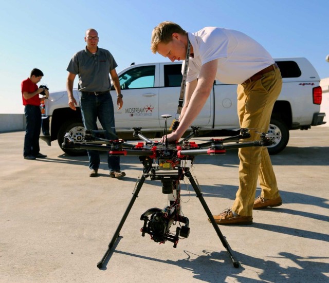 At a South Texas ranch, a drone mounted with cameras flew above and around a flare stack that burned natural gas. Live, high-definition images were transmitted back to the ground, where company officials watched video of the flare stack as it was operating, asking that the drone move this way or that to get a better image or different angle.
Trimble Launches ZX5 Multi-Rotor
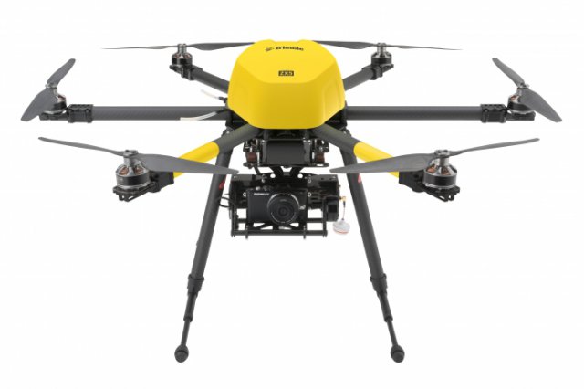
Trimble has announced the ZX5 Multirotor Unmanned Aircraft System (UAS), a new aerial imaging and workflow solution that captures and processes geo-referenced photo and video data for mapping, agriculture and inspection applications. Continue reading

