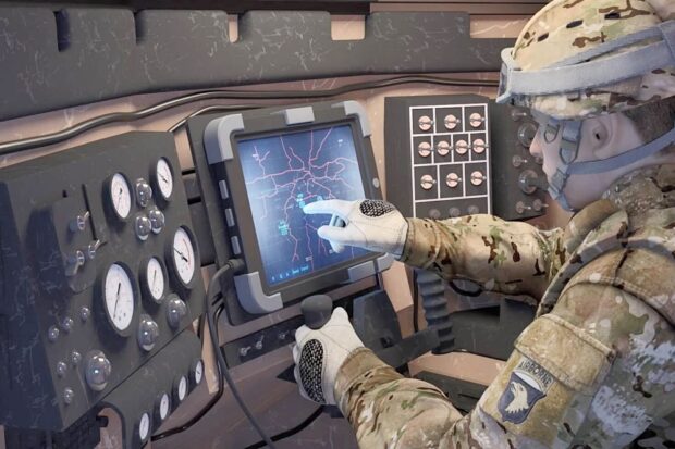
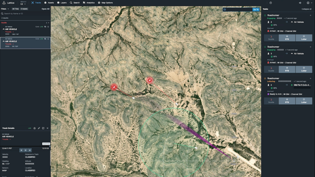
Category Archives: Software

MAXAR Launches Raptor Drone Software to Beat GPS Jammers

Maxar Intelligence, a provider of secure, precise geospatial insights, has launched Raptor, a powerful software suite that enables autonomous drones to navigate and extract accurate ground coordinates in the absence of GPS. This technology transforms the resilience and reliability of unmanned systems, enabling autonomy at scale across warfighting, humanitarian and commercial operations for customers across the world. Continue reading

L3Harris Launches New Technology to Control Autonomous Swarms

L3Harris Technologies has introduced AMORPHOUS, its new software that features a single user interface to operate thousands of autonomous assets simultaneously. Designed with an open architecture, this software enables the United States and allied militaries to control a mix of uncrewed platforms, payloads and systems, even if another manufacturer produces them. Continue reading

Anduril’s Lattice Showcased in US Central Command’s Desert Guardian 1.0

Anduril Industries has announced the successful integration of its Lattice platform in U.S. Central Command’s (CENTCOM) Desert Guardian exercise, a critical event designed to address the increasing complexity of modern airspace and the growing threat posed by unmanned aerial systems (UAS). Continue reading

UAV Navigation-Grupo Oesía’s Autopilot Integrates with JetCat’s Turbines

The UAV Navigation-Grupo Oesía and JetCat have collaborated to integrate JetCat’s P300 PRO turbine into UAV Navigation-Grupo Oesía’s VECTOR autopilots. This integration allows the autopilots to seamlessly control one of the most widely used turbines in the market, particularly for target drones, also known as the Unmanned Aerial Targets (UAT) segment. Continue reading

FlytBase and Pix4D Partner to Streamline Drone Data Processing Workflows

FlytBase, the drone autonomy software platform, has announced a strategic partnership with Pix4D, the photogrammetry platform for terrestrial and drone mapping. This integration will enable FlytBase users to seamlessly upload their drone-captured data directly to the online platform PIX4Dcloud, streamlining project management and minimizing manual interventions. Continue reading