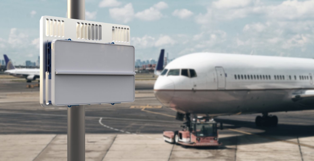
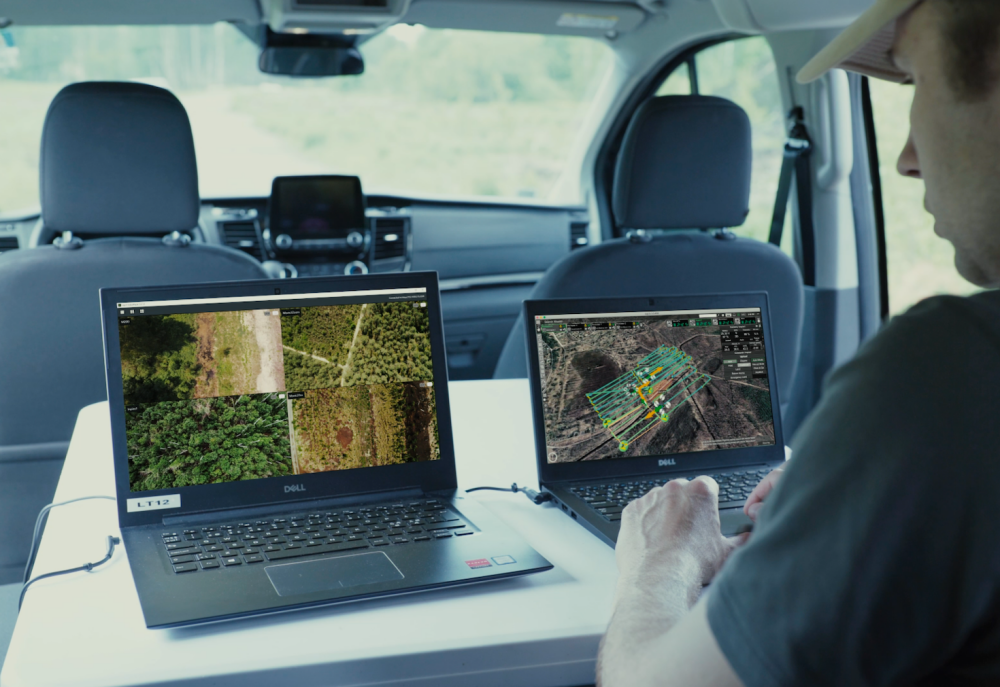
Airbus UTM (Unmanned Traffic Management) has announced that DroneDeploy, the drone software company, will integrate with Airbus UTM to offer airspace authorization and flight briefings for commercial drone pilots. Continue reading
Category Archives: Software
Simlat POLARIS UTM Simulation Suite Now Supports AirMap
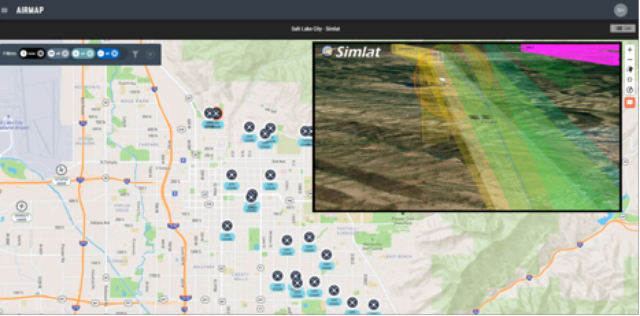
Simlat POLARIS and AirMap Enterprise Dashboard running a simulated session in Salt Lake City, UT with numerous delivery drones and other aircraft
Simlat’s POLARIS provides simulated UAS traffic at scale, simulating the behavior of “rogue” or malfunctioning UAS while also generating the clutter made by thousands of automated flights. Continue reading
Altitude Angel to Launch Drone Industry’s First ‘Just Culture’ Reporting System
Altitude Angel, a global UTM (unmanned traffic management) provider, has announced that it is to launch the world’s first ‘just culture’ reporting system for drone pilots and operators. Continue reading
Altitude Angel and DroneShield Partner on Situational Awareness
Altitude Angel, a global unmanned traffic management (UTM) technology provider, and DroneShield Ltd , a global provider for drone detection and mitigation, have announced a partnership. Continue reading
New Command & Control Solution for SAR Operations
Based on the existing UgCS drone mission-planning software, the new Command & Control solution has been developed for efficient drone integration in search & rescue (SAR), police and security operations. Continue reading
Wing Launches OpenSky Safety App for Australian Drone Operators
Drone delivery service Project Wing (or just Wing as it’s now called) recently won governmental approval to operate in the suburbs outside the Australian capital, Canberra. There, its service delivers food, coffee, pet supplies and more to area residents. Related to these efforts, Wing this week launched a new app for drone flyers, OpenSky, to help them find safe places and times to fly their drones or drone fleets. Continue reading
Paragon VTOL Aerospace Leverages Siemens’ Startup Program
Paragon VTOL Aerospace, a global vertical take-off and landing (VTOL) aircraft provider for numerous industries, has adopted solutions from Siemens Digital Industries Software for its product development process. Continue reading
New App Aims to Automate Drones for Good
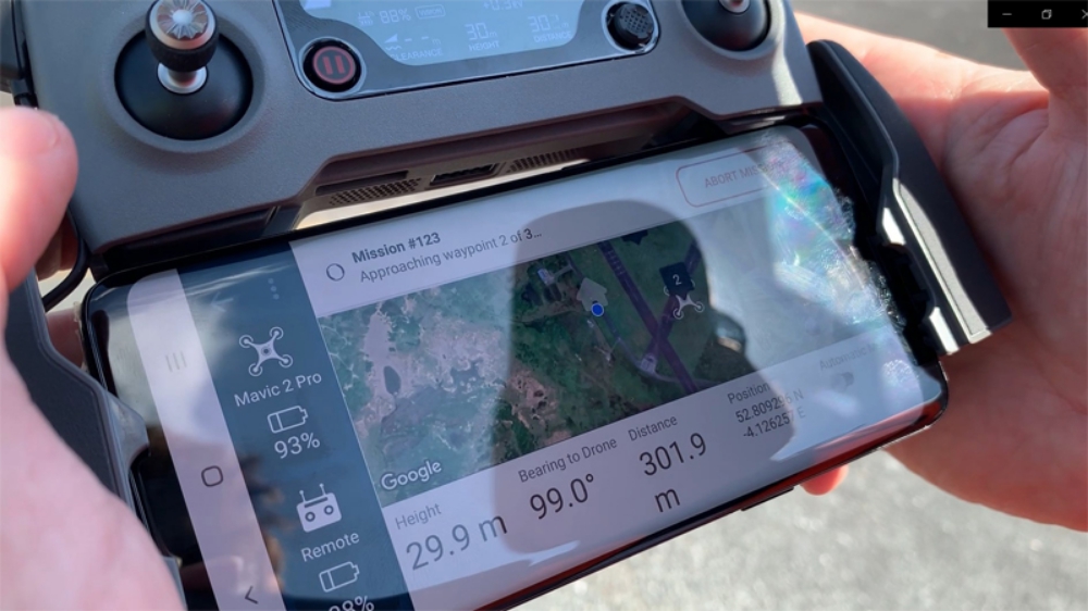
Researchers at Cranfield University have developed a smartphone app which can connect with off-the-shelf drones and send them to autonomously inspect multiple locations using coordinates received by SMS text message. Continue reading


