CerbAir, a European manufacturer of Counter-Unmanned Aerial Systems (C-UAS) solutions, and AirMap, a global airspace intelligence platform for drones, have announced their collaboration to provide integrated, comprehensive solutions for low-altitude airspace safety and security. Continue reading
Category Archives: Software
Dronecloud Launches Cloud-Based Software Platform
Dronecloud, a drone management software company, has announced the launch of its Drone Management, cloud-based software platform. The platform can halve project overheads by simplifying end-to-end workflow. Continue reading
TruWeather Raises Funding for TruFliteUAS Weather-Risk Solution
TruWeather Solutions, Inc., a micro weather data and analytics company successfully raised a Series Seed investment from Kluz Ventures, through its The Flying Object and The Next Impact funds. Continue reading
Autopilot Software Allows UAVs to Soar on Thermals
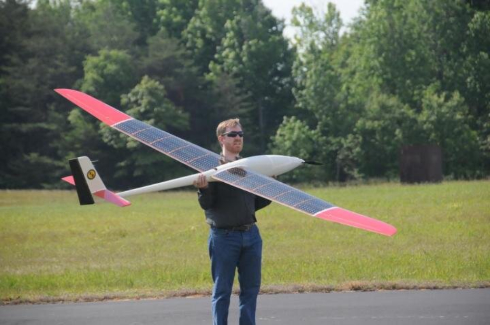
A Navy scientist has re-engineered the software that allows long-endurance drones to powerlessly climb into the sky on bubbles of warm air. In a U.S. patent application published on May 2, Aaron Kahn, an engineer working on the Autonomous Locator of Thermals (ALOFT) project at the Naval Research Laboratory, reported that he has extensively tested the new software that detects and estimates the position of thermals, i.e., rising columns of warm air that birds use to stay aloft without flapping their wings. Continue reading
AirMap Supports NASA and FAA UTM Research Projects
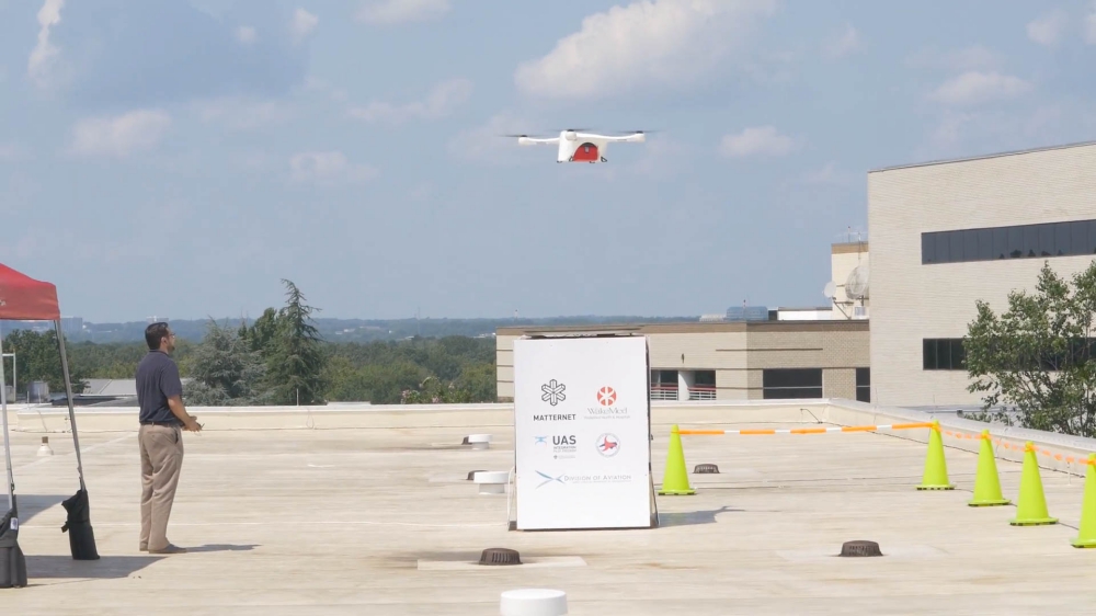
The AirMap team has also been busy with several exciting drone demonstration projects throughout the United States. Continue reading
SkyScape Industries Acquired by American Aerospace
American Aerospace Technologies, Inc. (AATI), a provider of real-time remote sensing and airborne intelligence services for enterprise, announced that it has signed a definitive agreement to acquire Sky Scape Industries, LLC (SSI) an industry leading unmanned technology service-provider. SSI’s services are widely used by critical infrastructure operators in the electric, water, and oil & gas industries. Continue reading
Accurate Terrain Following with Laser Altimeter
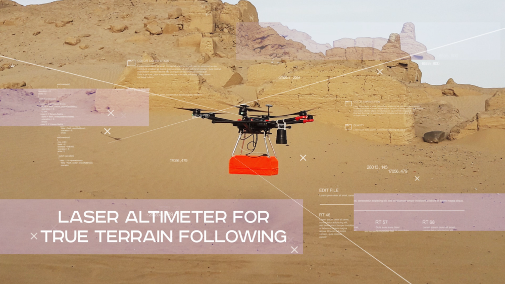
With the help of a proprietary UgCS data logger and a laser altimeter, SPH Engineering has solved a problem that has been troubling the drone industry for quite some time: how to follow terrain without compromising effectiveness and precision. Continue reading
UAV Navigation Announces Rotary Wing Software v7.16
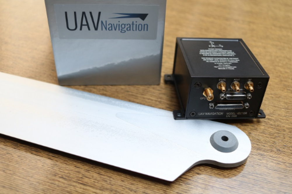
Spain’s UAV Navigation, company specialized in the development of professional autopilots and flight control systems used in a wide range of Unmanned Aerial Vehicles (UAVs) has just launched an important upgrade for its Rotary Wing Software. Continue reading


