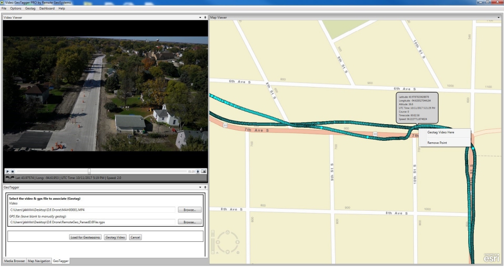
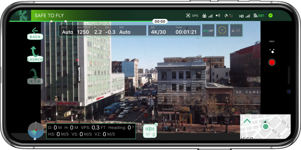
Remote GeoSystems, Inc. has announced the release and availability of Video GeoTagger FREE & PRO – revolutionary new tools allowing anyone to easily geotag and geospatially play back video – by simply clicking on a map. Continue reading
Category Archives: Software
Intel Unveils New Drone Software Solutions
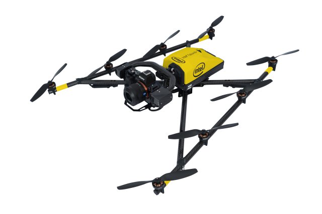
At AUVSI Xponential 2018, Intel disclosed details of Intel Insight Platform, a digital asset management system enabling effective aerial data management and analyses. It also demonstrated Intel Mission Control – next-generation flight planning software – and new updates for the Intel Falcon 8+ system: additional payloads for greater data capture, as well as distance hold and distance guard, both features of obstacle avoidance. Continue reading
FLIR Completes Strategic Investment in DroneSense
FLIR Systems, Inc. and DroneSense, Inc. announced that FLIR has completed a strategic investment in DroneSense, makers of a unique software platform that serves the growing needs of public safety organizations in utilizing unmanned aircraft systems (UAS) to better perform their missions. Continue reading
Hybrid Tilt-Rotor UAV Using Typhon Design Software
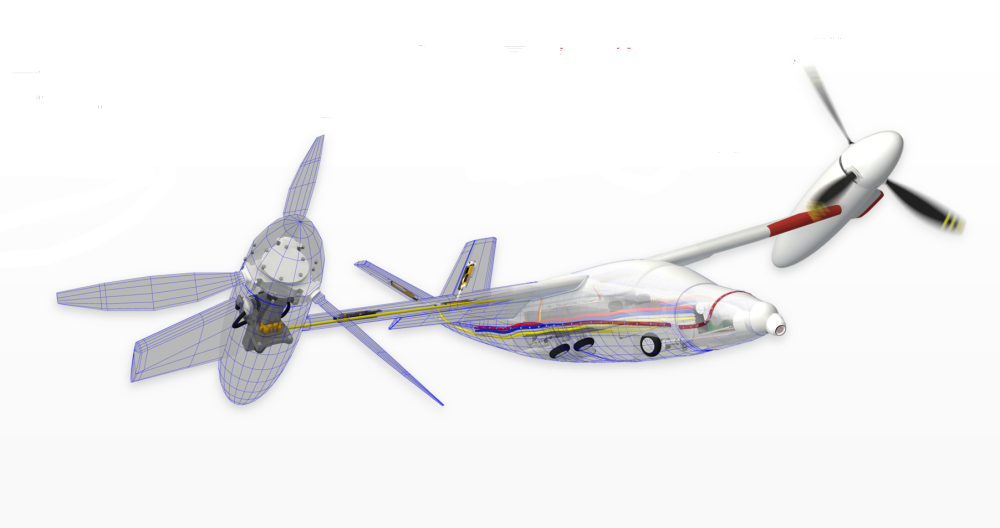
One of the most exciting evolving niches within unmanned aircraft systems and personal aerial vehicles is that of hybrid Vertical Take-Off and Landing (VTOL) aircraft, which provide a middle ground between the efficiency of fixed-wing aircraft and the practicality of multi-copter aircraft. Continue reading
A.I. Mission Learning for Swarm Management System
Using machine learning, planning and multi-agent technologies, Accelerated Dynamics is building a full-stack robot intelligence solution that is optimised for enterprise applications. It transforms drones, autonomous cars, satellite systems, unmanned boats into IoT devices that do not require human operators. Continue reading
AI Inserted into US Army Drones
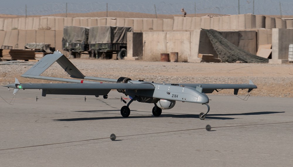
The US Army has eliminated the need to do lengthy pre-flight checks for its unmanned aerial vehicles by applying artificial intelligence algorithms on top of existing software programs. Continue reading
Kittyhawk’s Enhanced Security and Visibility Features
Kittyhawk, a supplier of commercial drone operations software, has announced a comprehensive set of new features for its best-in-class platform. Kittyhawk is introducing secure multi-party, multi-channel video and audio streaming, native UAS Facility Maps, new notification and telemetry sharing options with a focus on enhanced security and visibility. Continue reading
Autonomous Flight Management Software R&D Contract
Winston-Salem based software developer Small Footprint has been awarded a research and development contract with Melbourne Florida based Aeronyde Corporation to build autonomous flight management software as part of key technology for unmanned and robotic aerial vehicles. Continue reading

