Earlier this month at an undisclosed location in the Middle East, computers using special algorithms helped intelligence analysts identify objects in a video feed from a small ScanEagle drone over the battlefield. Continue reading
Category Archives: Software
Kittyhawk Launches Intelligent Flight Profiles
Kittyhawk has announced Flight Profiles, a key new feature to its expanding enterprise platform. After collaborating with customers, it became clear that as more organizations teams leave the “freelancer” or “contractor” model and begin to train more employees to fly, that a set of “common-sense” presets was necessary to help further reduce risk and empower their workforce. Continue reading
Kespry Integrates AirMap Airspace Intelligence
AirMap has announced a new partnership that brings AirMap airspace intelligence to the Kespry platform for commercial drone operations. Continue reading
AirMap Now Offers Automated Airspace Authorization
Through a partnership with the Federal Aviation Administration (FAA), AirMap Inc. is now a UAS service supplier for the Low Altitude Authorization and Notification Capability (L.A.A.N.C.). Continue reading
Dedrone Launches DroneTracker 3
Dedrone has announced a next generation software upgrade, DroneTracker 3. DroneTracker is the industry’s first airspace security solution that includes automated summary reporting for instant diagnosis of drone airspace activity. Continue reading
Kenyan Government Mapping Mines with Correlator3D
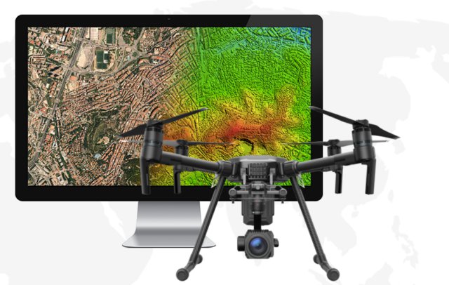
SimActive Inc., a developer of photogrammetry software, has announced that the Directorate of Resource Surveys & Remote Sensing (DRSRS) under the Ministry of Mining in Kenya is using Correlator3D for extensive mapping of mining activities. Continue reading
vHive Demonstrates Multi-Drone Missions at Drone World Expo
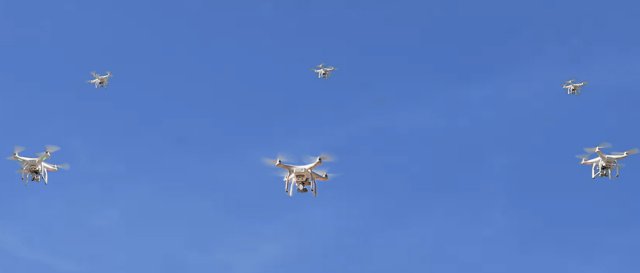
vHive, the developer of cloud based software that enables organizations to operate autonomous drone fleets for the acquisition, management and processing of field data, gave today a sneak preview of its new software release scheduled for November 2017 at the Drone World Expo in San Jose, CA. Continue reading
Advanced Weather Service for Commercial Drone Market
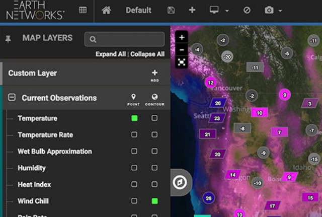
Earth Networks, a provider of weather intelligence solutions, has announced Sferic DroneFlight – a new advanced predictive weather offering specifically designed for rapidly growing commercial drone markets within construction, insurance, oil and gas, agriculture, and public safety. Continue reading


