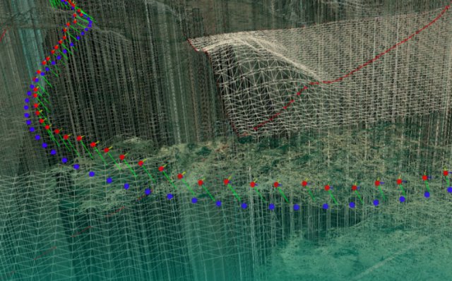
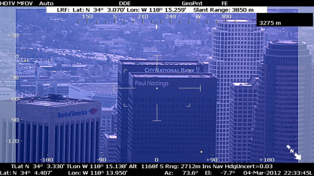
 Hydra Fusion Tools is Lockheed Martin’s answer to big data. Operation of an unmanned system is no longer a stand-alone activity. There are an assortment of maps, images,
video and intelligence which are being broadcast to the operators and this needs to be fused into a common operational picture.
Category Archives: Software
Cornerstone Mapping Processing Thermal Imagery with SimActive
SimActive Inc., a developer of photogrammetry software, has announced the purchase of Correlator3D by Cornerstone Mapping Inc. Based in the U.S., they are primarily using the software to process large datasets of thermal imagery.
Aero Kinetics and GridMeNow Bring Situational Awareness, Mobile Technology to Unmanned Systems
Aero Kinetics announces its partnership with GridMeNow to incorporate their mobile, real-time tracking solutions into Aero Kinetics’ newest multi-rotor vertical takeoff and land (VTOL) unmanned aircraft system (UAS). This combined effort is a significant step forward for the industry where dispatching now has the ease and efficiency necessary for reliable commercial use. Continue reading
Augmented Reality App for Small UAS
 Rapid Imaging Software has announced that SmartCam3D View is currently in flight testing. Tests to date have been successful and Dave Geisler, Vice President of Operations, will be at the NASA UTM 2015 Convention to discuss applications and partnerships for use of this technology with commercial unmanned systems.
Canadian Research Drone Imagery via CONNECT
EagleView Technology Corporation, a technology provider of aerial imagery, data analytics and GIS solutions, announced that its wholly owned subsidiary, Pictometry International Corp., delivered Canadian imagery via drones through their CONNECT platform. The research and testing were completed in collaboration with Avyon using their Microdrones MD4-1000 drone. Continue reading
Flight Control Software for Unpredictable Weather
IntelinAir has announced the launch of its new unmanned aerial system (UAS) technology, powered by its patented robust adaptive flight control technology delivering precision data collection and advanced data-analysis for actionable intelligence. Continue reading
Airware’s Aerial Information Platform Operating System
Airware has unveiled its Aerial Information Platform (AIP), an operating system for commercial drones that combines hardware, software, and cloud services to enable enterprises to safely operate drones at scale, comply with regulatory and insurance requirements, and rapidly develop industry-specific drone solutions. Continue reading
Complete Obstacle Management System for UAS
Rapid Imaging Software, Inc.has introduced SmarTopo Harvest. This new technology is integrated into the SmarTopo Obstacle Management System. SmarTopo delivers obstacle survey and detection technology plus powerful data management tools for a complete obstacle management system. SmarTopo is certified by the Federal Aviation Administration (FAA) to a level 1B. Continue reading
