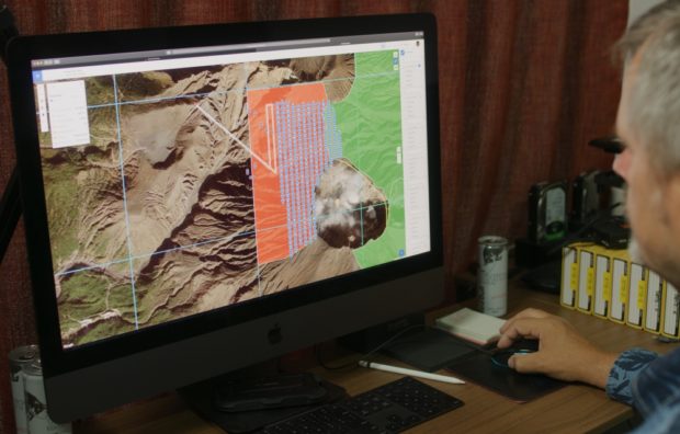
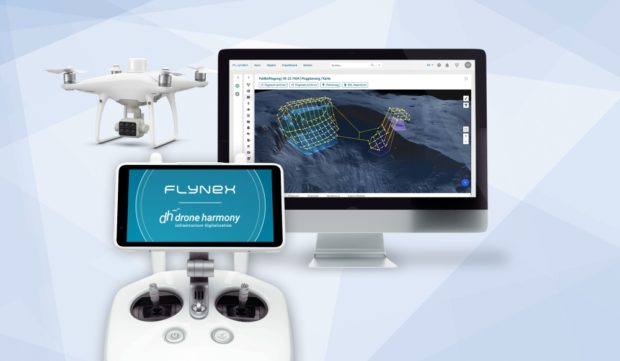
Swiss software company Drone Harmony specializes in automation software for data acquisition with drones. Together with FlyNex, a Germany-based drone management platform, both companies now joined forces to provide a fully integrated drone workflow solution to conduct data retrieval processes with drones. Continue reading
Category Archives: Software
Droneshield Releases Upgraded Capabilities via Firmware Across its C-UAS Devices
DroneShield, an Australian/US supplier of Artificial Intelligence based platforms for protection against advanced threats such as drones and autonomous systems, has announced an enhancement of its AI engine through the release of updated RF Detection devices. Continue reading
Drone Harmony Raised $1.6M to Accelerate Innovation
Drone Harmony is a supplier of automation software for data acquisition workflows in the commercial drone market. The Full-3D Flight Planning Engine provides unprecedented degrees of automation in flight plan generation, plan visualization and flight execution, making it the best choice for safe, efficient and high-quality data acquisition. Continue reading
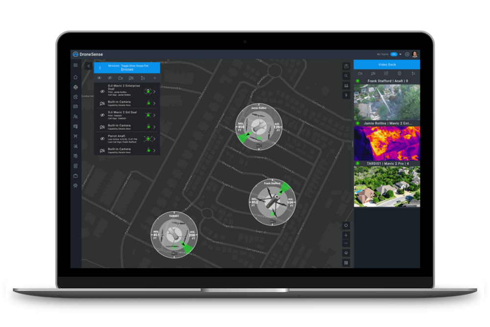
DroneSense Launches ‘Magic Video Link’ Allowing Unmatched Situational Awareness
DroneSense, a developer of operational and management platforms for unmanned aircraft systems, has released its new Magic Video Link feature, which provides easy sharing of critical real-time information with all who need it. Continue reading
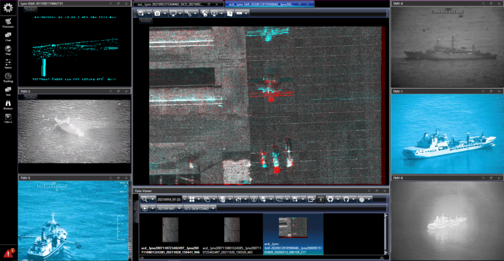
GA-ASI Displays STARE During Dubai Airshow
At the Dubai Airshow, General Atomics Aeronautical Systems, Inc. (GA-ASI) will have a number of capabilities on display in booth #1470, including its STARE (System for Tasking And Real-time Exploitation) system. Continue reading
Airspace Link Partners with the City of Las Vegas to Enable Safer Drone Operations
Airspace Link, Inc., a provider of drone mapping and solution software, announced it will be partnering with the City of Las Vegas to launch its new FLYSAFE program, powered by the AirHub platform. This program will enable drones operating in the city to fly safer today while paving the way for advanced commercial operations at scale. Continue reading
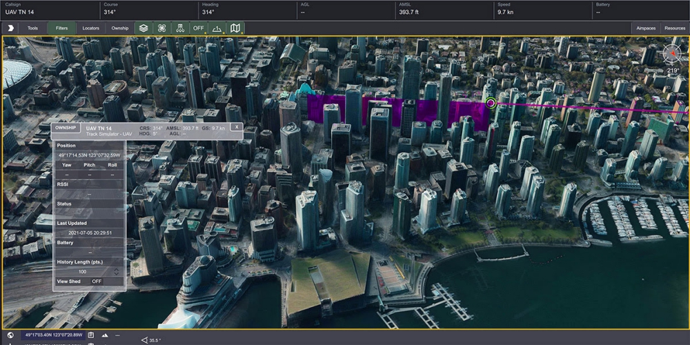
Kongsberg Geospatial Releases TerraLens 9.3 Geospatial SDK
Kongsberg Geospatial has announced the general release of TerraLens 9.3, the latest version of their real-time, high performance, software development toolkit for geospatial visualization. Continue reading
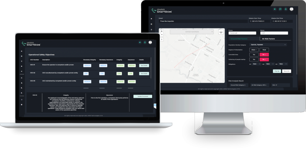
ANRA Launches Risk Assessment Tool For EU and UK UAS Operations
ANRA Technologies UK Ltd, a provider of integrated airspace, mission management and delivery systems for uncrewed aircraft, has announced the release of SmartSkies SORA, a fully integrated Specified Operations Risk Assessment capability that enables pilots to perform a risk assessment for operations in the ‘specific’ category per European Union Aviation Safety Agency (EASA) regulations. Continue reading