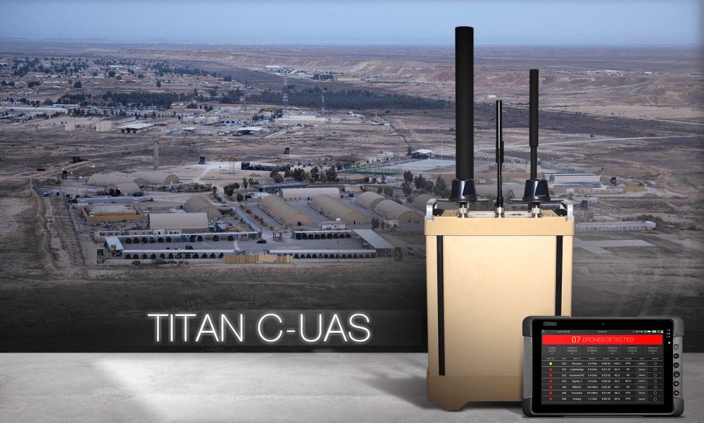
Citadel Defense has released new AI-powered software and networking solutions in order to autonomously protect against 98% of commercial off-the-shelf drones. By securely networking multiple Titan systems together, a large base or airfield can achieve 24/7/365 protection through a single interface and the click of one button. Continue reading
Category Archives: Software
Autonomous Aviation Tech Startup Xwing Raises $10M
Autonomous aviation technology startup Xwing announced that it has raised $10 million in new funding to allow it to hire more people and scale up the development of its autonomous flight software stack. Continue reading
Citadel Defense Launches Deepfake AI Software
Citadel Defense, a supplier of full spectrum counter drone solutions, has released new software incorporating deepfake neural networks to defend against adversarial spoofing tactics. Continue reading
New Software for Drone Data Processing, Storage and AI-Powered Analysis
SPH Engineering‘s launch of ATLAS addresses the increasing demand for powerful and user-friendly data processing and analysis solution. ATLAS provides AI-powered analytical capabilities enhancing industrial drone inspection and asset management. Continue reading
FlytWare Launches Solution Partner Program for Drones in Warehouses
FlytBase, Inc. has launched the FlytWare Solution Partner program, designed for win-win partnerships in the supply chain industry, with a focus on inventory automation in large warehouses & DCs. Continue reading
Altitude Angel Launches Surveillance API
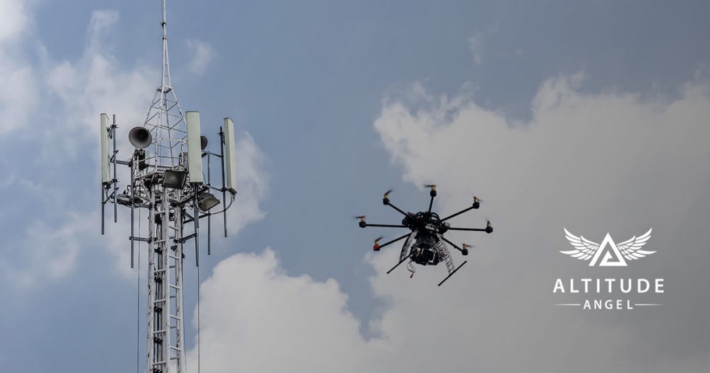
Altitude Angel, a world-wide UTM (Unmanned Traffic Management) technology provider, is making available a surveillance API which will allow integrators to both share and receive flight data from a variety of sensors and devices in near real-time, providing a truly comprehensive real-time picture of the airspace. Continue reading
AirMap Offers Platform for US Air Force Agility Prime
AirMap is offering its autonomous aircraft digital airspace management system for the US Air Force’s (USAF’s) Agility Prime electric vertical takeoff and landing (eVTOL) procurement effort. Continue reading
Drone Mapping a UNESCO Archeological Site
 SimActive Inc., a developer of photogrammetry software, announced that its Correlator3D product is used to map the UNESCO World Heritage Site of Halin in Myanmar.


