Soarizon has announced the first in a series of strong strategic partnerships with CG Labs, experts in the capture and processing of data. Continue reading
Category Archives: Software
FlytBase and Mayan Robotics Partner for Enterprise Drone Automation
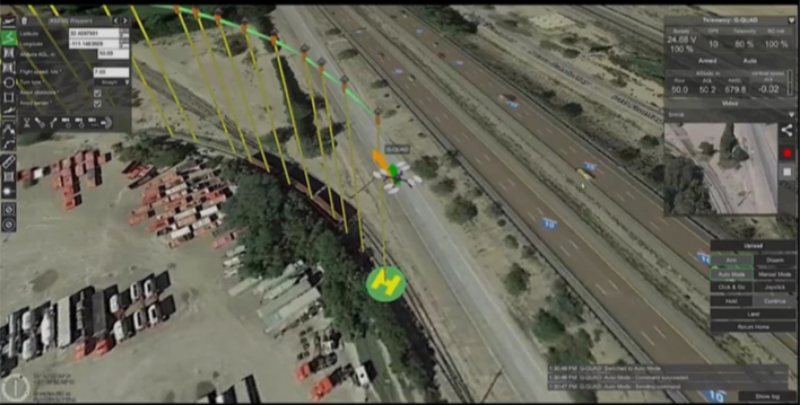
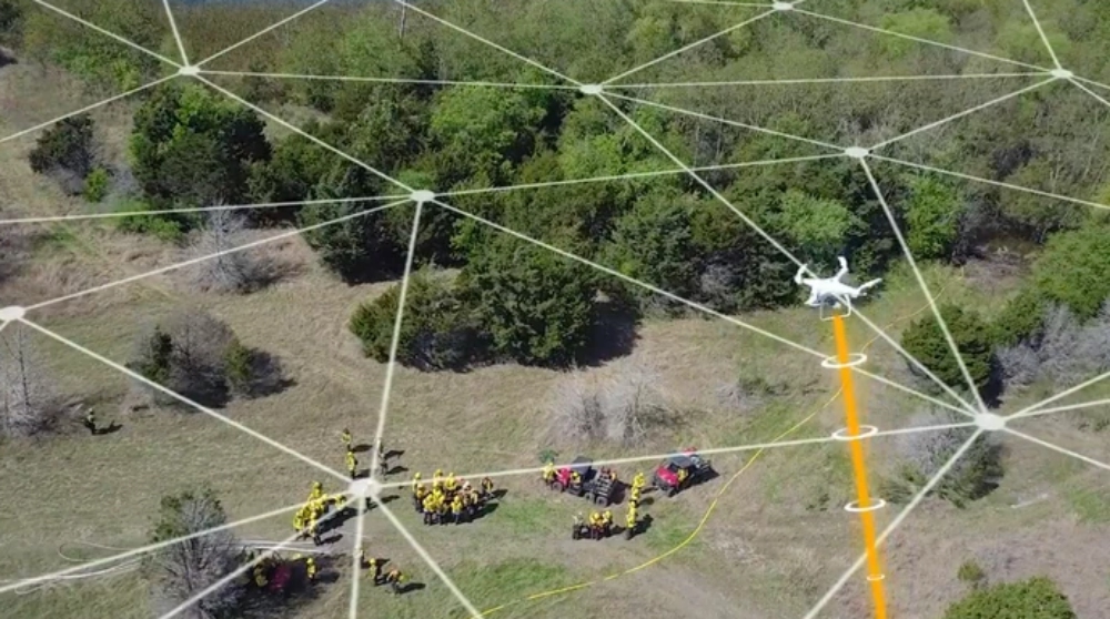
FlytBase, Inc. and Mayan Robotics, LLC have announced a partnership to support enterprises on the development of fully autonomous, cost-effective drone automation solutions that leverage open source technologies. Continue reading
Simlat Solution Delivered to FAA UAS Simulation Lab
Simlat has delivered its small UAS/drone simulation solution to the UAS simulation lab at the Federal Aviation Administration (FAA) William J. Hughes Technical Center (WJHTC) NextGen Integration & Evaluation Capability (NIEC). Continue reading
Exposed Data Shows Where Police Departments Fly Their Drones
Dronesense, a company that sells a platform to government, law enforcement, and private clients for flying drones, exposed a database of customer data, in some cases showing exactly where users programmed their drones to fly. Continue reading
PrecisionHawk Raises $32M for Expansion
PrecisionHawk, Inc., a provider of drone technology for the enterprise, announced a $32 million investment from venture investors including Millennium Technology Value Partners, Third Point Ventures, Eastward Capital Partners, and others. Continue reading
UAV Navigation Visionair Powers Safer Navigation
Predictive paths play a critical role in the overall performance of UAVs. After taking into account the challenges faced by industry professionals, UAV Navigation is all set to roll out upgrades to Visionair. Continue reading
SimActive Introduces New LiDAR Workflow
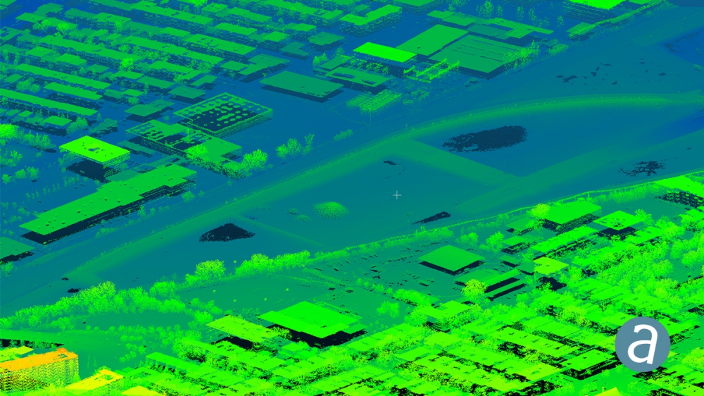
SimActive Inc., a developer of photogrammetry software, announces a new LiDAR workflow integrated in its Correlator3D product. The capability allows to import a point cloud in the software and to perform registration with an image dataset. Continue reading
SimActive Software Used for Determining Financial Assistance After Hurricane Dorian
SimActive Inc., a developer of photogrammetry software, announced that Correlator3D has been used by Air Data Solutions (ADS) in Florida to determine financial assistance following Hurricane Dorian. Aerial imagery was collected before the storm for pre-hurricane assessment and after for damage analysis. Continue reading

