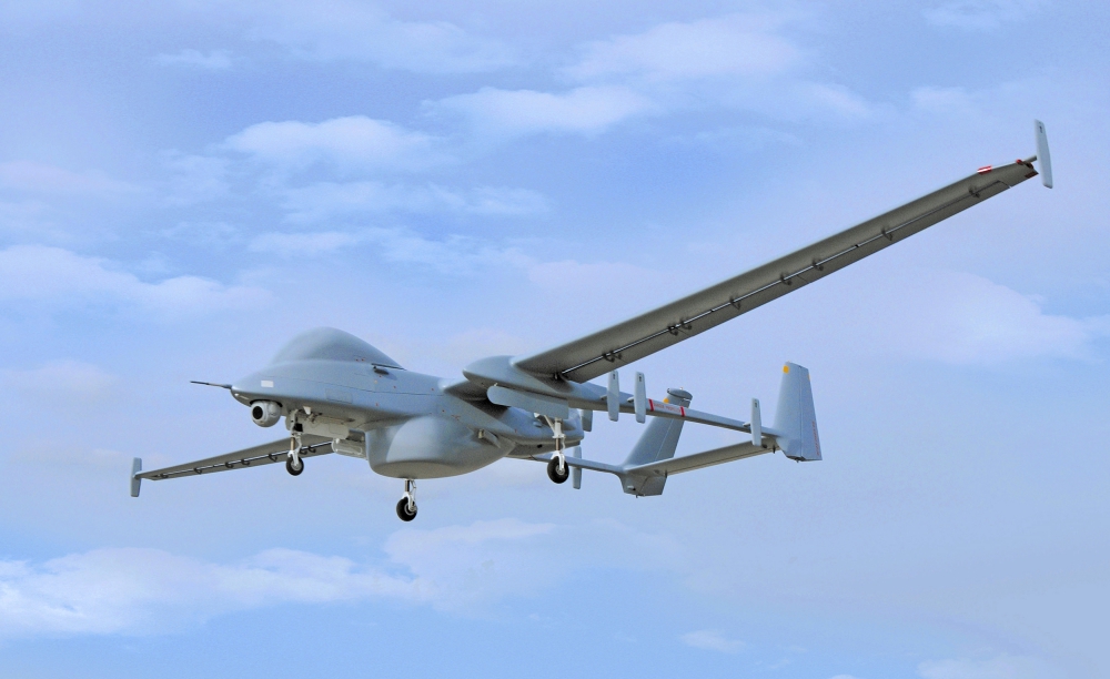
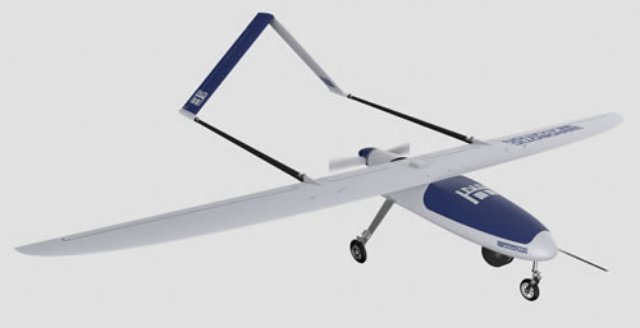
Defence relations between the State of Israel and Greece have been strengthened: Defence Ministry Director General, Maj. Gen. (Res.) Udi Adam and General Director for Defence Investments and Armament – Lieutenant General (Ret.) Theodoros Lagios (HAF), have signed the first agreement between their respective ministries to lease the Israeli Heron system developed by Israel Aerospace Industries (IAI). Continue reading
Tag Archives: ♯uav
Canadian Coast Guard to Trial UAVs
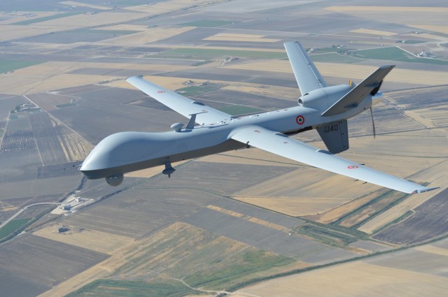
Italy Celebrates 10 Years of Predator Operations
New Kamov Rotary UAV
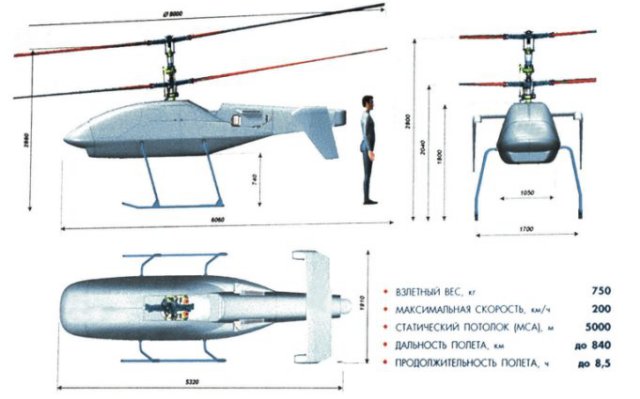 Kamov has revealed details of its new Ka-175 vertical takeoff and landing reconnaissance and strike unmanned aerial vehicle (UAV), which could make its maiden flight within a year. Continue reading
Seeker 400 Completes Second Round of Flight Tests
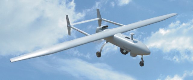 The Denel Dynamics Seeker 400 unmanned aerial vehicle has successfully completed a second round of flights tests at Alkantpan in the Northern Cape as part of its development process, Denel has announced. The tests included an evaluation of the system for range and performance with full payload on board.
Details of Ukraine UAV Requirement Revealed
A contract for leased unmanned air vehicle (UAV) services in support of the security mission in Ukraine is expected to be awarded imminently, an industry source reveals. The Organization for Security and Co-operation in Europe (OSCE) recently issued a solicitation for bids which closed on Friday, 25 July. It stipulates the requirement for a turnkey UAV solution for deployment in the conflicted east of the country.
Selex-ES Asio and Spyball UAS Ready for Delivery to Italian Army
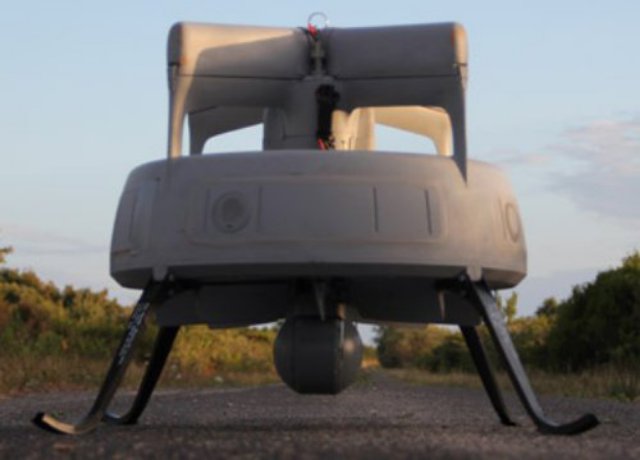 Finmeccanica – Selex ES’s ASIO-B and SPYBALL-B UAVs have passed their factory acceptance tests, leaving them ready for delivery to the Italian Army for its Forza NEC modernisation programme.
ING Robotic Aviation and ASG Mapping use Robotic Aircraft for Advanced Agricultural Data Gathering
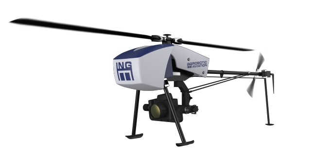 ING Robotic Aviation is partnering with ASG Mapping to rigorously assess and develop the application of small robotic aircraft systems for gathering high quality, positionally accurate, and interoperable geospatial data.

