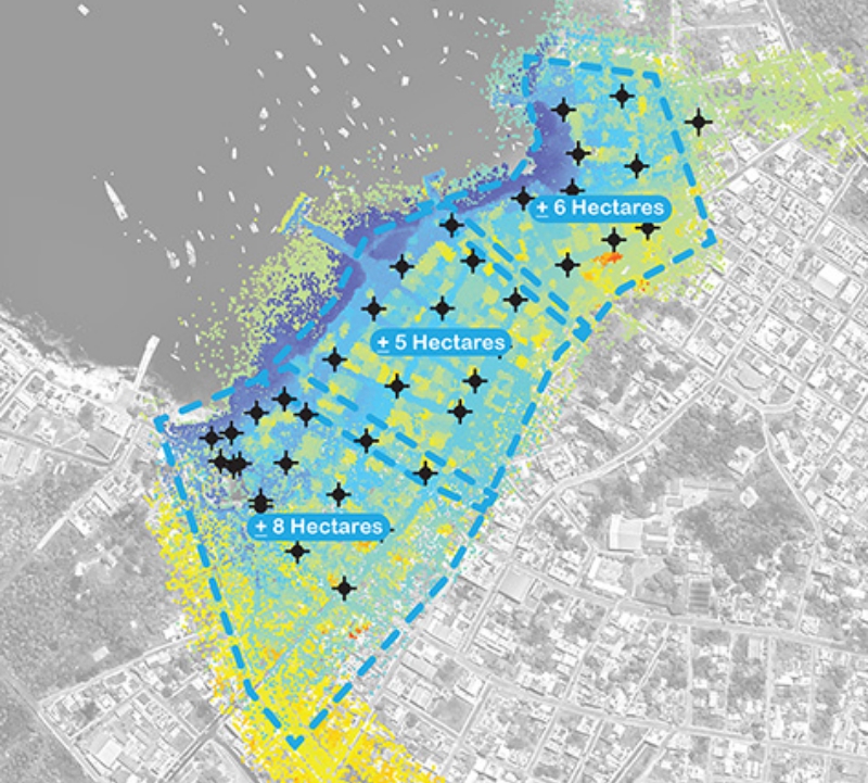
Accurate geospatial data is needed to plan and design coastal resilience efforts. Landscape architects use elevation representations to understand flooding, storm surges, and sea level rise. But what happens when there is no unified elevation data? Continue reading
Tag Archives: unmanned aerial vehicles
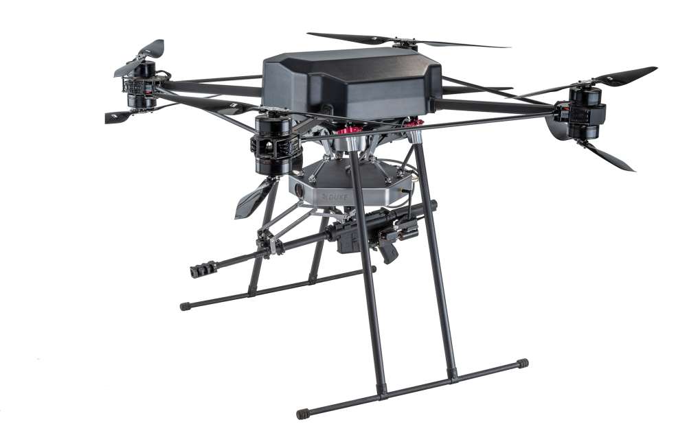
UAS Drone Corp. Completes Acquisition of Duke Robotics
UAS Drone Corp. announced the completion of its acquisition of Duke Robotics, Inc., the purveyor of an innovative military UAS drone with advanced stabilization technology, pursuant to which Duke Robotics became a wholly-owned subsidiary of UAS Drone Corp. Continue reading
Denmark to Establish First U-Space Flight this Year
Denmark will begin establishing U-space this year following an ambitious partnership announced today between the country’s air navigation service provider, public authorities and international UAS test center. Continue reading
ANSI Publishes Standardization Roadmap for UAS, V.20
The American National Standards Institute (ANSI) announced the publication of the Standardization Roadmap for Unmanned Aircraft Systems (Version 2.0).* Continue reading
Tupolev to Make First Drone in Decades
Russia’s Tupolev is best known for building a strategic bomber powered by turboprop engines. The Tu-95 Bear, a still-flying relic of the Cold War that first took to the skies in 1952, is an artifact from an older era of design, with durability that can last the better part of a century. Continue reading
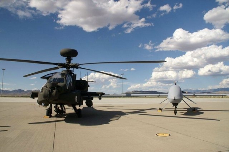
Moroccan Apaches to Get Video from MQ-1 Predator
The multi-billion dollar Moroccan deal for AH-64 Apaches also includes acquisition of manned-unmanned teaming kits (MUTKs) that will enable the gunship to collaborate with surveillance drones. Continue reading
Drones Spray Locusts’ Swarms in Agra, India
https://youtu.be/rqlPqfT8mLM
Drones were being used to spray insecticides on locusts’ swarms as they reached Agra on June 30. Continue reading
GA-ASI Holds 3rd Multi-Domain Operations Demo with Gray Eagle ER
General Atomics Aeronautical Systems, Inc. (GA-ASI) completed a month-long demo event that showcased a suite of long-range sensors, Air Launched Effects (ALE) and Scalable Command and Control (SC2) on its Gray Eagle Extended Range (GE-ER) Unmanned Aircraft System (UAS). Continue reading

